Earthquake 5 km WNW of Anza, CA
Wed, 07 Jan 2026 21:07:51 GMT
Time2 days ago
Location
33.5703, -116.7205
Depth
4.1 KM
Event Summary
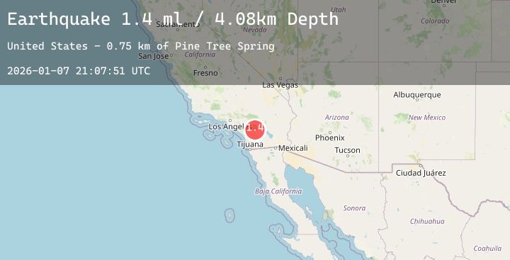
A 1.4 magnitude earthquake struck on 5 km WNW of Anza, CA, at Wed, 07 Jan 2026 21:07:51 GMT. Depth: 4.07999992370605km. Reviewed by USGS seismologists, this minor quake occurred at a magnitude type of ml.
Magnitude
1.4
ml
Source
USGS
Intensity
-
Agency Reports
4 Sources| Source | Magnitude | Depth | Time |
|---|---|---|---|
| USGSPrimary | 1.0 | 4 km | 2 days ago |
| USGSPrimary | 1.4 | 8 km | 2 days ago |
| USGSPrimary | 1.2 | 4 km | 2 days ago |
| USGSPrimary | 1.1 | 3 km | 2 days ago |
Earthquake Details
AutomaticEvent IDusgs_ci41153959
Tsunami PotentialNo
Magnitude Typeml
Nearest Places
- Anza Valley1.9 km
- Cave Rocks2.3 km
- American Medical Response Anza3.9 km
- Cahuilla3.9 km
- Tripp Flats4.2 km
Comments
Join the discussion about this event.
Latest Earthquakes
2.4Mag
9 km W of Trapper Creek, Alaska
Time2 days ago
Depth15.30 km
SourceUSGS (Automatic)
2.4Mag
Timor Region
Time2 days ago
Depth57.66 km
SourceBMKG (Automatic)
2.3Mag
TURKEY-IRAN BORDER REGION
Time2 days ago
Depth7.00 km
SourceAFAD (Automatic)
3.1Mag
MINDANAO, PHILIPPINES
Time2 days ago
Depth9.00 km
SourcePIVS (Automatic)
4.3Mag
West Papua, Indonesia
Time2 days ago
Depth59.45 km
SourceBMKG (Automatic)
Nearby Earthquakes
2.6Mag
10 km S of Idyllwild, CA
Time2 days ago
Depth13.63 km
SourceUSGS (Automatic)
0.9Mag
6 km E of Calimesa, CA
Time2 days ago
Depth15.04 km
SourceUSGS (Automatic)
0.7Mag
17 km NE of Pine Valley, CA
Time2 days ago
Depth5.09 km
SourceUSGS (Automatic)
1.1Mag
28 km N of Yucca Valley, CA
Time2 days ago
Depth6.75 km
SourceUSGS (Automatic)
1.1Mag
14 km NE of Borrego Springs, CA
Time2 days ago
Depth12.96 km
SourceUSGS (Automatic)