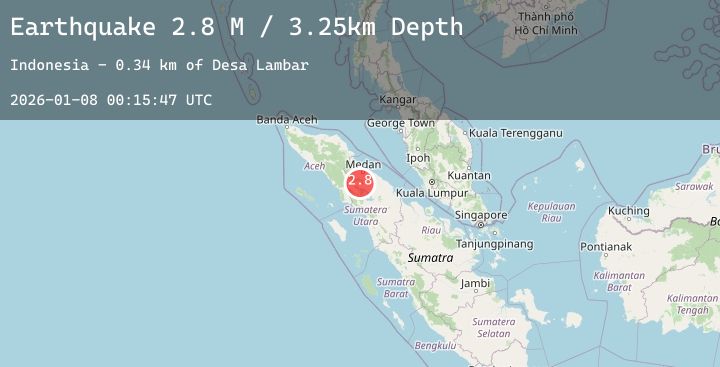
Earthquake Northern Sumatra, Indonesia
Thu, 08 Jan 2026 00:15:47 GMT
Time2 days ago
Location
3.0827, 98.5294
Depth
3.3 KM
Event Summary
A 2.8 magnitude earthquake struck on Northern Sumatra, Indonesia, at Thu, 08 Jan 2026 00:15:47 GMT. Depth: 3.253428km. Reviewed by BMKG seismologists, this minor quake occurred at a magnitude type of M.
Magnitude
2.8
M
Source
BMKG
Intensity
-
Agency Reports
1 Sources| Source | Magnitude | Depth | Time |
|---|---|---|---|
| BMKGPrimary | 2.8 | 3 km | 2 days ago |
Earthquake Details
AutomaticEvent IDbmg2026amvb
Tsunami PotentialNo
Magnitude TypeM
Nearest Places
- Desa Tigapanah0.5 km
- Desa Kuta Bale0.7 km
- Tigapanah0.8 km
- Kutabalai1.2 km
- Desa Mulawari1.5 km
Comments
Join the discussion about this event.
Latest Earthquakes
0.5Mag
9 km NW of The Geysers, CA
Time2 days ago
Depth5.82 km
SourceUSGS (Automatic)
2.7Mag
SOUTH OF JAVA, INDONESIA
Time2 days ago
Depth17.00 km
SourceBMKG (Automatic)
2.8Mag
Southern Sumatra, Indonesia
Time2 days ago
Depth28.22 km
SourceBMKG (Automatic)
3.0Mag
Ceram Sea
Time2 days ago
Depth5.13 km
SourceBMKG (Automatic)
2.7Mag
SAN JUAN, ARGENTINA
Time2 days ago
Depth116.00 km
SourceNSNA (Automatic)