Earthquake Near North Coast of West Papua
Thu, 08 Jan 2026 05:53:54 GMT
Time2 days ago
Location
-2.5882, 140.5690
Depth
12.5 KM
Event Summary
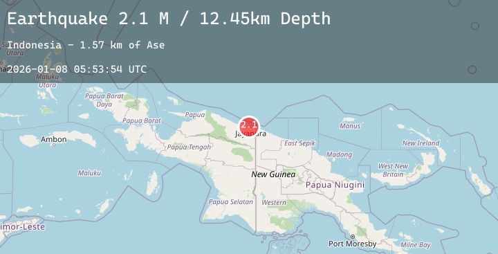
A 2.1 magnitude earthquake struck on Near North Coast of West Papua, at Thu, 08 Jan 2026 05:53:54 GMT. Depth: 12.450238km. Reviewed by BMKG seismologists, this minor quake occurred at a magnitude type of M.
Magnitude
2.1
M
Source
BMKG
Intensity
-
Agency Reports
1 Sources| Source | Magnitude | Depth | Time |
|---|---|---|---|
| BMKGPrimary | 2.1 | 12 km | 2 days ago |
Earthquake Details
AutomaticEvent IDbmg2026angf
Tsunami PotentialNo
Magnitude TypeM
Nearest Places
- Kampung Asei Besar1.4 km
- Kampung Nendali2.0 km
- Pulau Ase2.1 km
- Kampung Hobong3.0 km
- Danau Sentani3.2 km
Comments
Join the discussion about this event.
Latest Earthquakes
1.1Mag
7 km NW of The Geysers, CA
Time2 days ago
Depth2.92 km
SourceUSGS (Automatic)
3.3Mag
SOUTH ISLAND OF NEW ZEALAND
Time2 days ago
Depth5.00 km
SourceGNS (Automatic)
1.8Mag
30 km WNW of Karluk, Alaska
Time2 days ago
Depth68.80 km
SourceUSGS (Automatic)
2.6Mag
COQUIMBO, CHILE
Time2 days ago
Depth28.30 km
SourceCSN (Automatic)
1.6Mag
61 km S of Whites City, New Mexico
Time2 days ago
Depth1.07 km
SourceUSGS (Automatic)