Earthquake Sumba Region, Indonesia
Thu, 08 Jan 2026 11:38:25 GMT
Time1 day ago
Location
-9.8306, 119.2745
Depth
19.4 KM
Event Summary
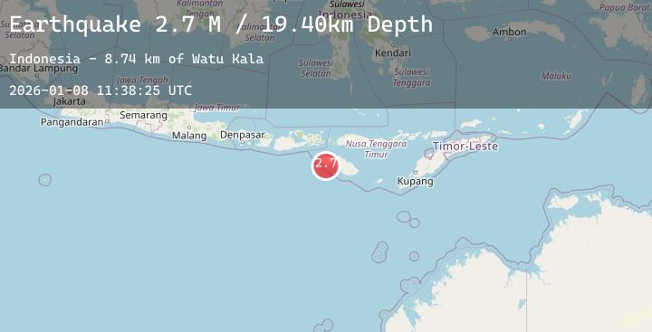
A 2.7 magnitude earthquake struck on Sumba Region, Indonesia, at Thu, 08 Jan 2026 11:38:25 GMT. Depth: 19.403032km. Reviewed by BMKG seismologists, this minor quake occurred at a magnitude type of M.
Magnitude
2.7
M
Source
BMKG
Intensity
-
Agency Reports
1 Sources| Source | Magnitude | Depth | Time |
|---|---|---|---|
| BMKGPrimary | 2.7 | 19 km | 1 day ago |
Earthquake Details
AutomaticEvent IDbmg2026anro
Tsunami PotentialNo
Magnitude TypeM
Nearest Places
- Watu Kala8.7 km
- Ramuk Marosi8.8 km
- Marosi8.9 km
- Ramuk Baseyala8.9 km
- Watubolo9.0 km
Comments
Join the discussion about this event.
Latest Earthquakes
3.3Mag
CYPRUS REGION
Time1 day ago
Depth4.00 km
SourceKOERI (Automatic)
0.8Mag
7 km NW of The Geysers, CA
Time1 day ago
Depth2.73 km
SourceUSGS (Automatic)
2.6Mag
BOSNIA AND HERZEGOVINA
Time1 day ago
Depth0.00 km
SourceBEO (Automatic)
1.1Mag
3 km SE of Loma Linda, CA
Time1 day ago
Depth16.61 km
SourceUSGS (Automatic)
1.9Mag
22 km ESE of Naalehu, Hawaii
Time1 day ago
Depth34.41 km
SourceUSGS (Automatic)
Nearby Earthquakes
2.4Mag
Sumbawa Region, Indonesia
Time2 days ago
Depth23.63 km
SourceBMKG (Automatic)
2.2Mag
Sumba Region, Indonesia
Time2 days ago
Depth3.19 km
SourceBMKG (Automatic)
2.3Mag
South of Sumbawa, Indonesia
Time2 days ago
Depth10.00 km
SourceBMKG (Automatic)
2.5Mag
Sumba Region, Indonesia
Time2 days ago
Depth45.17 km
SourceBMKG (Automatic)