Earthquake 7 km NW of The Geysers, CA
Thu, 08 Jan 2026 11:25:11 GMT
Time21 hours ago
Location
38.8148, -122.8157
Depth
2.7 KM
Event Summary
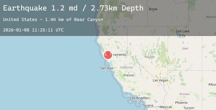
A 1.2 magnitude earthquake struck on 7 km NW of The Geysers, CA, at Thu, 08 Jan 2026 11:25:11 GMT. Depth: 2.73000001907349km. Reviewed by USGS seismologists, this minor quake occurred at a magnitude type of md.
Magnitude
1.2
md
Source
USGS
Intensity
-
Agency Reports
3 Sources| Source | Magnitude | Depth | Time |
|---|---|---|---|
| USGSPrimary | 0.8 | 3 km | 21 hours ago |
| USGSPrimary | 1.2 | 2 km | 21 hours ago |
| USGSPrimary | 0.3 | 2 km | 21 hours ago |
Earthquake Details
AutomaticEvent IDusgs_nc75292566
Tsunami PotentialNo
Magnitude Typemd
Nearest Places
- Bear Canyon1.5 km
- Geyser Canyon1.8 km
- Geysers Resort1.9 km
- Adit Number Two1.9 km
- Coldwater Canyon2.0 km
Comments
Join the discussion about this event.
Latest Earthquakes
1.1Mag
14 km SSW of Searles Valley, CA
Time21 hours ago
Depth5.80 km
SourceUSGS (Automatic)
2.4Mag
Halmahera, Indonesia
Time21 hours ago
Depth130.60 km
SourceBMKG (Automatic)
2.4Mag
Java, Indonesia
Time21 hours ago
Depth8.82 km
SourceBMKG (Automatic)
2.1Mag
WESTERN TURKEY
Time21 hours ago
Depth14.40 km
SourceKOERI (Automatic)
2.4Mag
Seram, Indonesia
Time21 hours ago
Depth6.14 km
SourceBMKG (Automatic)
Nearby Earthquakes
1.1Mag
7 km NW of The Geysers, CA
Time23 hours ago
Depth1.73 km
SourceUSGS (Automatic)
1.3Mag
10 km WNW of The Geysers, CA
Time1 day ago
Depth2.26 km
SourceUSGS (Automatic)
4.2Mag
12 km E of Cloverdale, California
Time1 day ago
Depth9.00 km
SourceUSGS (Automatic)
1.7Mag
8 km NW of The Geysers, CA
Time1 day ago
Depth2.64 km
SourceUSGS (Automatic)
1.5Mag
7 km NW of The Geysers, CA
Time1 day ago
Depth2.92 km
SourceUSGS (Automatic)