Earthquake Northern Sumatra, Indonesia
Thu, 08 Jan 2026 18:54:34 GMT
Time2 days ago
Location
4.7501, 96.7919
Depth
6.1 KM
Event Summary
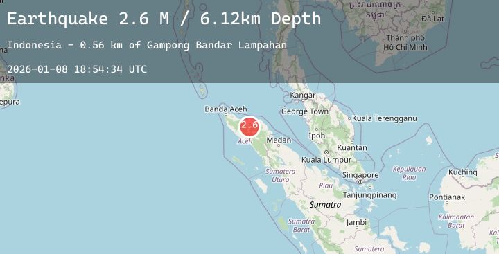
A 2.6 magnitude earthquake struck on Northern Sumatra, Indonesia, at Thu, 08 Jan 2026 18:54:34 GMT. Depth: 6.122606km. Reviewed by BMKG seismologists, this minor quake occurred at a magnitude type of M.
Magnitude
2.6
M
Source
BMKG
Intensity
-
Agency Reports
1 Sources| Source | Magnitude | Depth | Time |
|---|---|---|---|
| BMKGPrimary | 2.6 | 6 km | 2 days ago |
Earthquake Details
AutomaticEvent IDbmg2026aofz
Tsunami PotentialNo
Magnitude TypeM
Nearest Places
- Gampong Bandar Lampahan0.6 km
- Gampong Damaran Baru0.6 km
- Desabaru0.9 km
- Blok Delapan Puluh1.2 km
- Gampong Kenine1.3 km
Comments
Join the discussion about this event.
Latest Earthquakes
3.9Mag
Talaud Islands, Indonesia
Time2 days ago
Depth45.76 km
SourceBMKG (Automatic)
2.1Mag
Sulawesi, Indonesia
Time2 days ago
Depth3.90 km
SourceBMKG (Automatic)
1.7Mag
45 km W of Ferry, Alaska
Time2 days ago
Depth6.20 km
SourceUSGS (Automatic)
2.0Mag
West Papua Region, Indonesia
Time2 days ago
Depth17.74 km
SourceBMKG (Automatic)
2.3Mag
Timor Region
Time2 days ago
Depth11.01 km
SourceBMKG (Automatic)