Earthquake Southern Sumatra, Indonesia
Thu, 08 Jan 2026 19:05:41 GMT
Time2 days ago
Location
-4.6385, 101.8833
Depth
10.0 KM
Event Summary
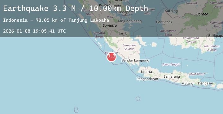
A 3.3 magnitude earthquake struck on Southern Sumatra, Indonesia, at Thu, 08 Jan 2026 19:05:41 GMT. Depth: 10km. Reviewed by BMKG seismologists, this minor quake occurred at a magnitude type of M.
Magnitude
3.3
M
Source
BMKG
Intensity
-
Agency Reports
1 Sources| Source | Magnitude | Depth | Time |
|---|---|---|---|
| BMKGPrimary | 3.3 | 10 km | 2 days ago |
Earthquake Details
AutomaticEvent IDbmg2026aogi
Tsunami PotentialNo
Magnitude TypeM
Nearest Places
- Tanjung Lakoaha78.0 km
- Lakoaha78.0 km
- Sungai Hubaje78.1 km
- Batang Mea80.1 km
- Barhau80.5 km
Comments
Join the discussion about this event.
Latest Earthquakes
2.7Mag
West Papua Region, Indonesia
Time2 days ago
Depth93.16 km
SourceBMKG (Automatic)
1.3Mag
14 km NE of Ridgecrest, CA
Time2 days ago
Depth5.40 km
SourceUSGS (Automatic)
2.2Mag
Sumbawa Region, Indonesia
Time2 days ago
Depth10.00 km
SourceBMKG (Automatic)
2.6Mag
Northern Sumatra, Indonesia
Time2 days ago
Depth6.12 km
SourceBMKG (Automatic)
3.9Mag
Talaud Islands, Indonesia
Time2 days ago
Depth45.76 km
SourceBMKG (Automatic)
Nearby Earthquakes
No significant earthquakes nearby recently.