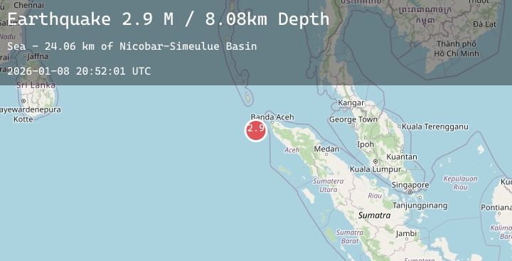
Earthquake Northern Sumatra, Indonesia
Thu, 08 Jan 2026 20:52:01 GMT
Time1 day ago
Location
5.0878, 94.3063
Depth
8.1 KM
Event Summary
A 2.9 magnitude earthquake struck on Northern Sumatra, Indonesia, at Thu, 08 Jan 2026 20:52:01 GMT. Depth: 8.079833km. Reviewed by BMKG seismologists, this minor quake occurred at a magnitude type of M.
Magnitude
2.9
M
Source
BMKG
Intensity
-
Agency Reports
1 Sources| Source | Magnitude | Depth | Time |
|---|---|---|---|
| BMKGPrimary | 2.9 | 8 km | 1 day ago |
Earthquake Details
AutomaticEvent IDbmg2026aojw
Tsunami PotentialNo
Magnitude TypeM
Nearest Places
- Nicobar-Simeulue Basin23.6 km
- Karang Sindoro87.1 km
- Jangkat Rutong99.7 km
- Karang Raba101.6 km
- Pulau Rusa101.7 km
Comments
Join the discussion about this event.
Latest Earthquakes
0.5Mag
3 km NW of The Geysers, CA
Time1 day ago
Depth1.37 km
SourceUSGS (Automatic)
1.9Mag
32 km NW of Nikiski, Alaska
Time1 day ago
Depth77.60 km
SourceUSGS (Automatic)
2.4Mag
Northern Sumatra, Indonesia
Time1 day ago
Depth34.47 km
SourceBMKG (Automatic)
2.0Mag
WESTERN TURKEY
Time1 day ago
Depth12.70 km
SourceKOERI (Automatic)
2.1Mag
West Papua Region, Indonesia
Time1 day ago
Depth17.66 km
SourceBMKG (Automatic)
Nearby Earthquakes
No significant earthquakes nearby recently.