Earthquake West Papua Region, Indonesia
Fri, 09 Jan 2026 01:36:57 GMT
Time2 days ago
Location
-1.6357, 133.9107
Depth
10.0 KM
Event Summary
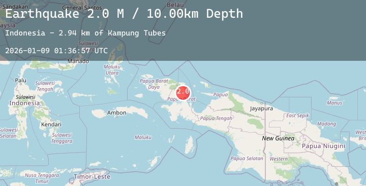
A 2.0 magnitude earthquake struck on West Papua Region, Indonesia, at Fri, 09 Jan 2026 01:36:57 GMT. Depth: 10km. Reviewed by BMKG seismologists, this minor quake occurred at a magnitude type of M.
Magnitude
2.0
M
Source
BMKG
Intensity
-
Agency Reports
1 Sources| Source | Magnitude | Depth | Time |
|---|---|---|---|
| BMKGPrimary | 2.0 | 10 km | 2 days ago |
Earthquake Details
AutomaticEvent IDbmg2026aotf
Tsunami PotentialNo
Magnitude TypeM
Nearest Places
- Kampung Tubes2.9 km
- Tuhugesa4.3 km
- Isim5.0 km
- Kampung Isim5.8 km
- Kampung Duhugesa7.9 km
Comments
Join the discussion about this event.
Latest Earthquakes
4.3Mag
Southern Sumatra, Indonesia
Time2 days ago
Depth21.11 km
SourceBMKG (Automatic)
3.1Mag
SOUTHERN GREECE
Time2 days ago
Depth14.20 km
SourceNOA (Automatic)
2.1Mag
EASTERN TURKEY
Time2 days ago
Depth4.50 km
SourceKOERI (Automatic)
0.9Mag
5 km W of Borrego Springs, CA
Time2 days ago
Depth4.53 km
SourceUSGS (Automatic)
2.1Mag
Flores Sea
Time2 days ago
Depth10.00 km
SourceBMKG (Automatic)
Nearby Earthquakes
No significant earthquakes nearby recently.