Earthquake Sumba Region, Indonesia
Fri, 09 Jan 2026 04:16:26 GMT
Time2 days ago
Location
-9.3363, 119.3623
Depth
27.4 KM
Event Summary
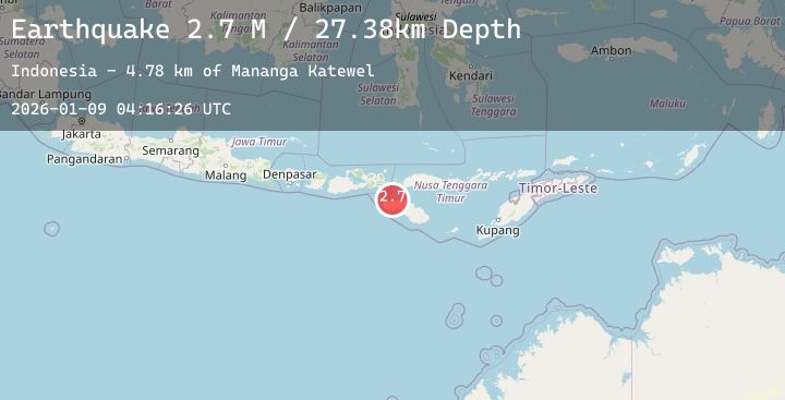
A 2.7 magnitude earthquake struck on Sumba Region, Indonesia, at Fri, 09 Jan 2026 04:16:26 GMT. Depth: 27.379259km. Reviewed by BMKG seismologists, this minor quake occurred at a magnitude type of M.
Magnitude
2.7
M
Source
BMKG
Intensity
-
Agency Reports
1 Sources| Source | Magnitude | Depth | Time |
|---|---|---|---|
| BMKGPrimary | 2.7 | 27 km | 2 days ago |
Earthquake Details
AutomaticEvent IDbmg2026aoyn
Tsunami PotentialNo
Magnitude TypeM
Nearest Places
- Mananga Katewel4.8 km
- Loko Katewel4.8 km
- Ramuk Katewel4.9 km
- Katewel5.2 km
- Nanga Amba5.2 km
Comments
Join the discussion about this event.
Latest Earthquakes
2.8Mag
ALBANIA
Time2 days ago
Depth15.00 km
SourceEMSC (Automatic)
1.0Mag
3 km ESE of Berkeley, CA
Time2 days ago
Depth7.06 km
SourceUSGS (Automatic)
1.7Mag
49 km NW of Tatitlek, Alaska
Time2 days ago
Depth23.60 km
SourceUSGS (Automatic)
1.5Mag
8 km NW of The Geysers, CA
Time2 days ago
Depth1.49 km
SourceUSGS (Automatic)
3.5Mag
ROMANIA
Time2 days ago
Depth103.90 km
SourceEMSC (Automatic)
Nearby Earthquakes
2.6Mag
Sumba Region, Indonesia
Time2 days ago
Depth52.89 km
SourceBMKG (Automatic)
2.4Mag
Sumbawa Region, Indonesia
Time2 days ago
Depth20.34 km
SourceBMKG (Automatic)
2.0Mag
Sumba Region, Indonesia
Time2 days ago
Depth46.34 km
SourceBMKG (Automatic)
2.6Mag
Sumbawa Region, Indonesia
Time2 days ago
Depth60.71 km
SourceBMKG (Automatic)
2.5Mag
Sumbawa Region, Indonesia
Time2 days ago
Depth5.50 km
SourceBMKG (Automatic)