Earthquake 49 km NW of Tatitlek, Alaska
Fri, 09 Jan 2026 04:00:45 GMT
Time1 day ago
Location
61.1570, -147.3760
Depth
23.6 KM
Event Summary
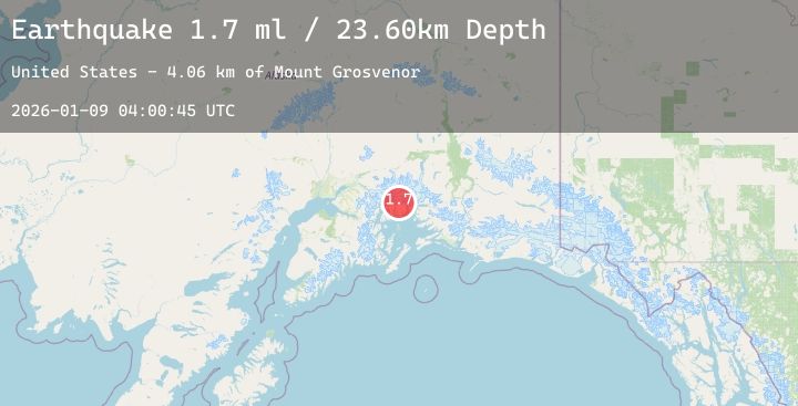
A 1.7 magnitude earthquake struck on 49 km NW of Tatitlek, Alaska, at Fri, 09 Jan 2026 04:00:45 GMT. Depth: 23.6km. Reviewed by USGS seismologists, this minor quake occurred at a magnitude type of ml.
Magnitude
1.7
ml
Source
USGS
Intensity
-
Agency Reports
1 Sources| Source | Magnitude | Depth | Time |
|---|---|---|---|
| USGSPrimary | 1.7 | 24 km | 1 day ago |
Earthquake Details
AutomaticEvent IDusgs_ak2026aozunu
Tsunami PotentialNo
Magnitude Typeml
Nearest Places
- Mount Grosvenor4.1 km
- Pedro Glacier4.5 km
- Brilliant Glacier4.6 km
- Meares Glacier7.6 km
- Ranney Creek8.0 km
Comments
Join the discussion about this event.
Latest Earthquakes
2.7Mag
Sumba Region, Indonesia
Time1 day ago
Depth27.38 km
SourceBMKG (Automatic)
2.8Mag
ALBANIA
Time1 day ago
Depth15.00 km
SourceEMSC (Automatic)
1.0Mag
3 km ESE of Berkeley, CA
Time1 day ago
Depth7.06 km
SourceUSGS (Automatic)
1.5Mag
8 km NW of The Geysers, CA
Time1 day ago
Depth1.49 km
SourceUSGS (Automatic)
3.5Mag
ROMANIA
Time1 day ago
Depth103.90 km
SourceEMSC (Automatic)
Nearby Earthquakes
1.6Mag
39 km NNW of Valdez, Alaska
Time1 day ago
Depth20.70 km
SourceUSGS (Automatic)
2.3Mag
46 km S of Nelchina, Alaska
Time1 day ago
Depth17.30 km
SourceUSGS (Automatic)
1.7Mag
54 km WNW of Tatitlek, Alaska
Time1 day ago
Depth12.10 km
SourceUSGS (Automatic)
2.1Mag
43 km NNE of Whittier, Alaska
Time1 day ago
Depth20.70 km
SourceUSGS (Automatic)
2.8Mag
SOUTHERN ALASKA
Time1 day ago
Depth23.20 km
SourceAK (Automatic)