Earthquake Southern Sumatra, Indonesia
Fri, 09 Jan 2026 15:07:16 GMT
Time1 day ago
Location
-4.9998, 102.3905
Depth
6.7 KM
Event Summary
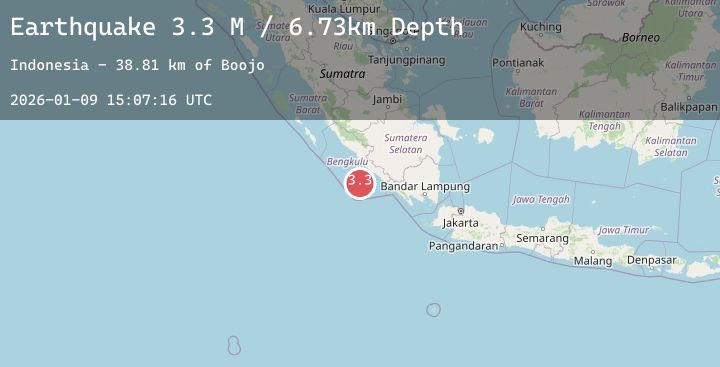
A 3.3 magnitude earthquake struck on Southern Sumatra, Indonesia, at Fri, 09 Jan 2026 15:07:16 GMT. Depth: 6.732935km. Reviewed by BMKG seismologists, this minor quake occurred at a magnitude type of M.
Magnitude
3.3
M
Source
BMKG
Intensity
-
Agency Reports
1 Sources| Source | Magnitude | Depth | Time |
|---|---|---|---|
| BMKGPrimary | 3.3 | 7 km | 1 day ago |
Earthquake Details
AutomaticEvent IDbmg2026apty
Tsunami PotentialNo
Magnitude TypeM
Nearest Places
- Boojo38.8 km
- Kopokopo39.0 km
- Kampungbaru39.2 km
- Tanjung Lakoaha39.3 km
- Karkuwa39.3 km
Comments
Join the discussion about this event.
Latest Earthquakes
0.8Mag
12 km ENE of Cloverdale, CA
Time1 day ago
Depth2.25 km
SourceUSGS (Automatic)
2.2Mag
15 km SE of Susitna, Alaska
Time1 day ago
Depth29.50 km
SourceUSGS (Automatic)
2.2Mag
Flores Region, Indonesia
Time1 day ago
Depth148.34 km
SourceBMKG (Automatic)
2.2Mag
CZECH REPUBLIC
Time1 day ago
Depth1.00 km
SourceIGPAS (Automatic)
2.1Mag
AEGEAN SEA
Time1 day ago
Depth6.30 km
SourceEMSC (Automatic)