Earthquake Timor Region
Fri, 09 Jan 2026 18:31:24 GMT
Time2 days ago
Location
-9.0568, 123.1599
Depth
59.6 KM
Event Summary
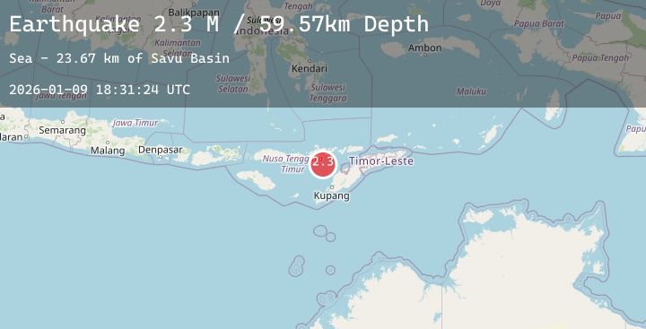
A 2.3 magnitude earthquake struck on Timor Region, at Fri, 09 Jan 2026 18:31:24 GMT. Depth: 59.56665km. Reviewed by BMKG seismologists, this minor quake occurred at a magnitude type of M.
Magnitude
2.3
M
Source
BMKG
Intensity
-
Agency Reports
1 Sources| Source | Magnitude | Depth | Time |
|---|---|---|---|
| BMKGPrimary | 2.3 | 60 km | 2 days ago |
Earthquake Details
AutomaticEvent IDbmg2026aqar
Tsunami PotentialNo
Magnitude TypeM
Nearest Places
- Savu Basin23.6 km
- Nuaf Panmolo45.4 km
- Teluk Atu53.6 km
- Pulau Suanggi54.7 km
- Nuha Watu55.1 km
Comments
Join the discussion about this event.
Latest Earthquakes
2.1Mag
NORTHERN CALIFORNIA
Time2 days ago
Depth20.00 km
SourceNC (Automatic)
2.5Mag
Southern Sumatra, Indonesia
Time2 days ago
Depth0.00 km
SourceBMKG (Automatic)
1.4Mag
7 km ESE of Lake Roesiger, Washington
Time2 days ago
Depth12.37 km
SourceUSGS
2.5Mag
Java, Indonesia
Time2 days ago
Depth49.55 km
SourceBMKG (Automatic)
2.1Mag
CENTRAL TURKEY
Time2 days ago
Depth7.20 km
SourceKOERI (Automatic)
Nearby Earthquakes
No significant earthquakes nearby recently.