Earthquake Bali Sea
Fri, 09 Jan 2026 22:29:49 GMT
Time2 days ago
Location
-7.9578, 117.5913
Depth
6.6 KM
Event Summary
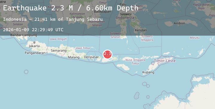
A 2.3 magnitude earthquake struck on Bali Sea, at Fri, 09 Jan 2026 22:29:49 GMT. Depth: 6.601822km. Reviewed by BMKG seismologists, this minor quake occurred at a magnitude type of M.
Magnitude
2.3
M
Source
BMKG
Intensity
-
Agency Reports
1 Sources| Source | Magnitude | Depth | Time |
|---|---|---|---|
| BMKGPrimary | 2.3 | 7 km | 2 days ago |
Earthquake Details
AutomaticEvent IDbmg2026aqio
Tsunami PotentialNo
Magnitude TypeM
Nearest Places
- Tanjung Sebaru21.4 km
- Sebaru21.4 km
- Bada22.2 km
- Binakarya22.4 km
- Tanjung Panda22.4 km
Comments
Join the discussion about this event.
Latest Earthquakes
1.4Mag
85 km NW of Karluk, Alaska
Time2 days ago
Depth5.00 km
SourceUSGS (Automatic)
1.7Mag
23 km ENE of Kalama, Washington
Time2 days ago
Depth20.04 km
SourceUSGS (Automatic)
3.6Mag
ANTOFAGASTA, CHILE
Time2 days ago
Depth120.00 km
SourceCSN (Automatic)
1.0Mag
77 km S of McCarthy, Alaska
Time2 days ago
Depth5.00 km
SourceUSGS (Automatic)
3.1Mag
ALBANIA
Time2 days ago
Depth15.00 km
SourceIGEO (Automatic)
Nearby Earthquakes
2.6Mag
Bali Sea
Time2 days ago
Depth10.00 km
SourceBMKG (Automatic)
2.6Mag
Sumbawa Region, Indonesia
Time2 days ago
Depth29.38 km
SourceBMKG (Automatic)
2.2Mag
Sumbawa Region, Indonesia
Time2 days ago
Depth25.53 km
SourceBMKG (Automatic)
2.0Mag
Sumbawa Region, Indonesia
Time2 days ago
Depth25.27 km
SourceBMKG (Automatic)
2.2Mag
Sumbawa Region, Indonesia
Time2 days ago
Depth23.74 km
SourceBMKG (Automatic)