Earthquake 23 km ENE of Kalama, Washington
Fri, 09 Jan 2026 22:19:34 GMT
Time2 days ago
Location
46.1147, -122.5857
Depth
20.0 KM
Event Summary
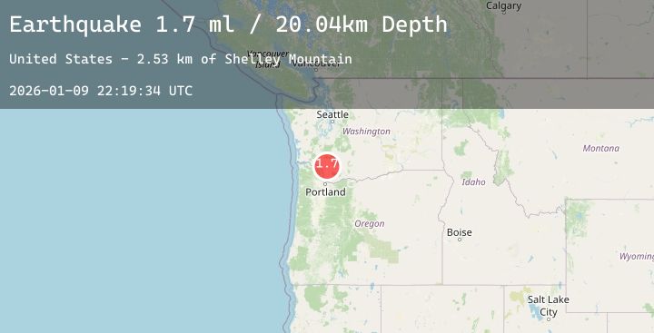
A 1.7 magnitude earthquake struck on 23 km ENE of Kalama, Washington, at Fri, 09 Jan 2026 22:19:34 GMT. Depth: 20.0400009155273km. Reviewed by USGS seismologists, this minor quake occurred at a magnitude type of ml.
Magnitude
1.7
ml
Source
USGS
Intensity
-
Agency Reports
1 Sources| Source | Magnitude | Depth | Time |
|---|---|---|---|
| USGSPrimary | 1.7 | 20 km | 2 days ago |
Earthquake Details
AutomaticEvent IDusgs_uw62213802
Tsunami PotentialNo
Magnitude Typeml
Nearest Places
- Shelley Mountain2.5 km
- Georges Peak3.1 km
- Nineteen Mountain3.2 km
- Brown Creek4.1 km
- Bear Pass4.1 km
Comments
Join the discussion about this event.
Latest Earthquakes
2.4Mag
Halmahera, Indonesia
Time2 days ago
Depth10.36 km
SourceBMKG (Automatic)
2.6Mag
Near North Coast of West Papua
Time2 days ago
Depth35.62 km
SourceBMKG (Automatic)
2.8Mag
NEAR COAST OF NICARAGUA
Time2 days ago
Depth47.00 km
SourceINET (Automatic)
1.1Mag
34 km WSW of Ackerly, Texas
Time2 days ago
Depth2.60 km
SourceUSGS (Automatic)
5.6Mag
VANUATU
Time2 days ago
Depth35.00 km
SourceNEIC (Automatic)
Nearby Earthquakes
No significant earthquakes nearby recently.