Earthquake Southern Sumatra, Indonesia
Fri, 09 Jan 2026 22:51:21 GMT
Time2 days ago
Location
-1.9272, 99.8393
Depth
10.0 KM
Event Summary
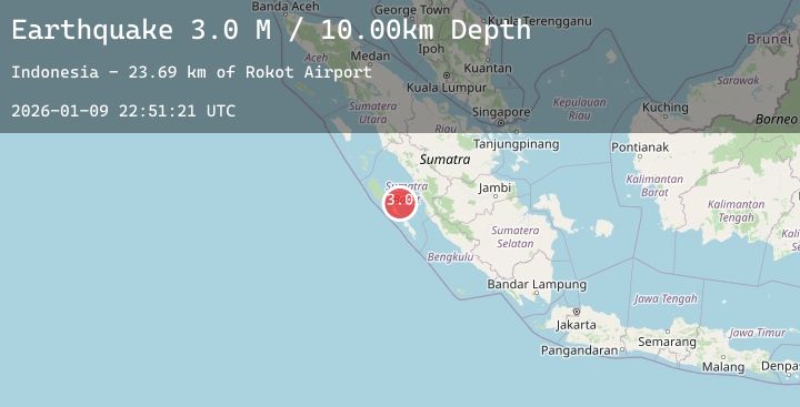
A 3.0 magnitude earthquake struck on Southern Sumatra, Indonesia, at Fri, 09 Jan 2026 22:51:21 GMT. Depth: 10km. Reviewed by BMKG seismologists, this minor quake occurred at a magnitude type of M.
Magnitude
3.0
M
Source
BMKG
Intensity
-
Agency Reports
1 Sources| Source | Magnitude | Depth | Time |
|---|---|---|---|
| BMKGPrimary | 3.0 | 10 km | 2 days ago |
Earthquake Details
AutomaticEvent IDbmg2026aqjg
Tsunami PotentialNo
Magnitude TypeM
Nearest Places
- Rokot Airport23.7 km
- Tanjung Kaikeruaru23.8 km
- Sipogiri24.3 km
- Rokot24.3 km
- Tanjung Pugolangan24.4 km
Comments
Join the discussion about this event.
Latest Earthquakes
3.0Mag
South of Java, Indonesia
Time2 days ago
Depth13.86 km
SourceBMKG (Automatic)
2.4Mag
Timor Region
Time2 days ago
Depth20.31 km
SourceBMKG (Automatic)
1.5Mag
SPAIN
Time2 days ago
Depth11.50 km
SourceIGN (Automatic)
1.3Mag
4 km WNW of Chino, CA
Time2 days ago
Depth0.74 km
SourceUSGS (Automatic)
2.3Mag
Bali Sea
Time2 days ago
Depth6.60 km
SourceBMKG (Automatic)
Nearby Earthquakes
No significant earthquakes nearby recently.