Earthquake Minahassa Peninsula, Sulawesi
Sat, 10 Jan 2026 02:06:32 GMT
Time2 days ago
Location
0.1766, 119.4710
Depth
19.1 KM
Event Summary
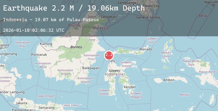
A 2.2 magnitude earthquake struck on Minahassa Peninsula, Sulawesi, at Sat, 10 Jan 2026 02:06:32 GMT. Depth: 19.061852km. Reviewed by BMKG seismologists, this minor quake occurred at a magnitude type of M.
Magnitude
2.2
M
Source
BMKG
Intensity
-
Agency Reports
1 Sources| Source | Magnitude | Depth | Time |
|---|---|---|---|
| BMKGPrimary | 2.2 | 19 km | 2 days ago |
Earthquake Details
AutomaticEvent IDbmg2026aqps
Tsunami PotentialNo
Magnitude TypeM
Nearest Places
- Pulau Pasoso19.1 km
- Pulau Batu19.2 km
- Tanjung Manimbaya25.2 km
- Bulu Jolovani26.5 km
- Manimbaya27.6 km
Comments
Join the discussion about this event.
Latest Earthquakes
1.5Mag
20 km NNW of Tehachapi, CA
Time2 days ago
Depth4.18 km
SourceUSGS (Automatic)
2.3Mag
SAN FRANCISCO BAY AREA, CALIF.
Time2 days ago
Depth6.00 km
SourceNC (Automatic)
0.5Mag
2 km NNE of The Geysers, CA
Time2 days ago
Depth3.01 km
SourceUSGS (Automatic)
1.4Mag
14 km NW of Midland, Texas
Time2 days ago
Depth4.73 km
SourceUSGS (Automatic)
2.6Mag
Java, Indonesia
Time2 days ago
Depth13.00 km
SourceBMKG (Automatic)
Nearby Earthquakes
No significant earthquakes nearby recently.