Earthquake 20 km NNW of Tehachapi, CA
Sat, 10 Jan 2026 02:06:10 GMT
Time2 days ago
Location
35.2942, -118.5498
Depth
4.2 KM
Event Summary
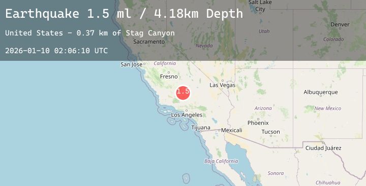
A 1.5 magnitude earthquake struck on 20 km NNW of Tehachapi, CA, at Sat, 10 Jan 2026 02:06:10 GMT. Depth: 4.17999982833862km. Reviewed by USGS seismologists, this minor quake occurred at a magnitude type of ml.
Magnitude
1.5
ml
Source
USGS
Intensity
-
Agency Reports
1 Sources| Source | Magnitude | Depth | Time |
|---|---|---|---|
| USGSPrimary | 1.5 | 4 km | 2 days ago |
Earthquake Details
AutomaticEvent IDusgs_ci41154991
Tsunami PotentialNo
Magnitude Typeml
Nearest Places
- Stag Canyon0.4 km
- Montgomery Spring1.1 km
- Devils Backbone1.2 km
- Stag Saddle1.5 km
- Montgomery Canyon2.1 km
Comments
Join the discussion about this event.
Latest Earthquakes
2.0Mag
FRANCE
Time2 days ago
Depth0.90 km
SourceReNaSS (Automatic)
3.0Mag
KODIAK ISLAND REGION, ALASKA
Time2 days ago
Depth49.50 km
SourceNEIC (Automatic)
4.0Mag
NEAR WEST COAST OF HONSHU, JAPAN
Time2 days ago
Depth10.00 km
SourceJMA (Automatic)
2.8Mag
OFFSHORE EL SALVADOR
Time2 days ago
Depth29.00 km
SourceINET (Automatic)
2.2Mag
Minahassa Peninsula, Sulawesi
Time2 days ago
Depth19.06 km
SourceBMKG (Automatic)