Earthquake Timor Region
Sat, 10 Jan 2026 02:32:03 GMT
Time2 days ago
Location
-9.1162, 124.2340
Depth
62.6 KM
Event Summary
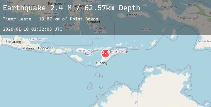
A 2.4 magnitude earthquake struck on Timor Region, at Sat, 10 Jan 2026 02:32:03 GMT. Depth: 62.565781km. Reviewed by BMKG seismologists, this minor quake occurred at a magnitude type of M.
Magnitude
2.4
M
Source
BMKG
Intensity
-
Agency Reports
1 Sources| Source | Magnitude | Depth | Time |
|---|---|---|---|
| BMKGPrimary | 2.4 | 63 km | 2 days ago |
Earthquake Details
AutomaticEvent IDbmg2026aqqo
Tsunami PotentialNo
Magnitude TypeM
Nearest Places
- Estuary Pepan12.5 km
- Kali Tono12.5 km
- Lifau12.7 km
- Point Lipaupar12.7 km
- Point Maufo12.7 km
Comments
Join the discussion about this event.
Latest Earthquakes
2.0Mag
FRANCE
Time2 days ago
Depth0.90 km
SourceReNaSS (Automatic)
3.0Mag
KODIAK ISLAND REGION, ALASKA
Time2 days ago
Depth49.50 km
SourceNEIC (Automatic)
4.0Mag
NEAR WEST COAST OF HONSHU, JAPAN
Time2 days ago
Depth10.00 km
SourceJMA (Automatic)
2.8Mag
OFFSHORE EL SALVADOR
Time2 days ago
Depth29.00 km
SourceINET (Automatic)
2.2Mag
Minahassa Peninsula, Sulawesi
Time2 days ago
Depth19.06 km
SourceBMKG (Automatic)