Earthquake Southern Sumatra, Indonesia
Sat, 10 Jan 2026 06:34:24 GMT
Time2 days ago
Location
-0.3431, 100.4811
Depth
6.9 KM
Event Summary
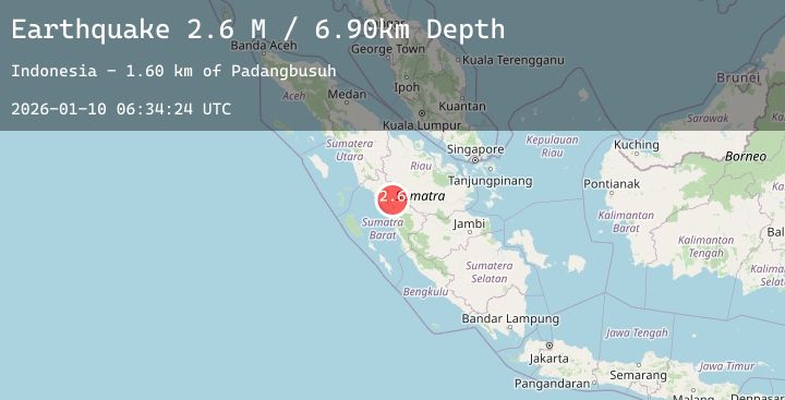
A 2.6 magnitude earthquake struck on Southern Sumatra, Indonesia, at Sat, 10 Jan 2026 06:34:24 GMT. Depth: 6.895552km. Reviewed by BMKG seismologists, this minor quake occurred at a magnitude type of M.
Magnitude
2.6
M
Source
BMKG
Intensity
-
Agency Reports
1 Sources| Source | Magnitude | Depth | Time |
|---|---|---|---|
| BMKGPrimary | 2.6 | 7 km | 2 days ago |
Earthquake Details
AutomaticEvent IDbmg2026aqyn
Tsunami PotentialNo
Magnitude TypeM
Nearest Places
- Lasimuda Dua1.6 km
- Nagari Lasi2.8 km
- Labung Dua3.0 km
- Kecamatan Candung3.2 km
- Nagari Canduang Koto Laweh3.5 km
Comments
Join the discussion about this event.
Latest Earthquakes
1.9Mag
28 km ESE of Clam Gulch, Alaska
Time2 days ago
Depth27.90 km
SourceUSGS (Automatic)
4.6Mag
Northern Molucca Sea
Time2 days ago
Depth23.71 km
SourceBMKG (Automatic)
4.2Mag
OFFSHORE EL SALVADOR
Time2 days ago
Depth24.00 km
SourceINET (Automatic)
0.9Mag
5 km SW of San Ardo, CA
Time2 days ago
Depth8.63 km
SourceUSGS (Automatic)
1.7Mag
CANARY ISLANDS, SPAIN REGION
Time2 days ago
Depth20.00 km
SourceIGN (Automatic)
Nearby Earthquakes
No significant earthquakes nearby recently.