Earthquake Northern Molucca Sea
Sat, 10 Jan 2026 06:43:07 GMT
Time2 days ago
Location
0.7128, 125.0696
Depth
23.7 KM
Event Summary
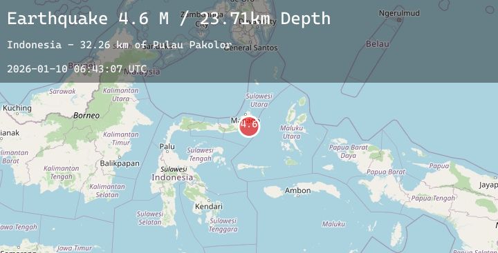
A 4.6 magnitude earthquake struck on Northern Molucca Sea, at Sat, 10 Jan 2026 06:43:07 GMT. Depth: 23.710489km. Reviewed by BMKG seismologists, this light quake occurred at a magnitude type of M.
Magnitude
4.6
M
Source
BMKG
Intensity
-
Agency Reports
1 Sources| Source | Magnitude | Depth | Time |
|---|---|---|---|
| BMKGPrimary | 4.6 | 24 km | 2 days ago |
Earthquake Details
AutomaticEvent IDbmg2026aqyv
Tsunami PotentialNo
Magnitude TypeM
Nearest Places
- Pulau Pakolor32.2 km
- Pulau Balingbaling33.3 km
- Pulau Punten34.1 km
- Pulau Bentenan34.1 km
- Tanjung Sompini35.4 km
Comments
Join the discussion about this event.
Latest Earthquakes
1.9Mag
28 km ESE of Clam Gulch, Alaska
Time2 days ago
Depth27.90 km
SourceUSGS (Automatic)
4.2Mag
OFFSHORE EL SALVADOR
Time2 days ago
Depth24.00 km
SourceINET (Automatic)
2.6Mag
Southern Sumatra, Indonesia
Time2 days ago
Depth6.90 km
SourceBMKG (Automatic)
0.9Mag
5 km SW of San Ardo, CA
Time2 days ago
Depth8.63 km
SourceUSGS (Automatic)
1.7Mag
CANARY ISLANDS, SPAIN REGION
Time2 days ago
Depth20.00 km
SourceIGN (Automatic)