Earthquake Bali Sea
Sat, 10 Jan 2026 08:51:58 GMT
Time2 days ago
Location
-7.7049, 117.2793
Depth
19.6 KM
Event Summary
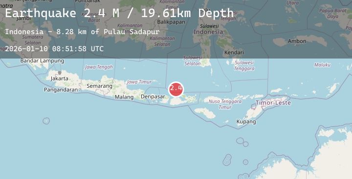
A 2.4 magnitude earthquake struck on Bali Sea, at Sat, 10 Jan 2026 08:51:58 GMT. Depth: 19.610704km. Reviewed by BMKG seismologists, this minor quake occurred at a magnitude type of M.
Magnitude
2.4
M
Source
BMKG
Intensity
-
Agency Reports
1 Sources| Source | Magnitude | Depth | Time |
|---|---|---|---|
| BMKGPrimary | 2.4 | 20 km | 2 days ago |
Earthquake Details
AutomaticEvent IDbmg2026ardb
Tsunami PotentialNo
Magnitude TypeM
Nearest Places
- Pulau Sadapur11.6 km
- Karang Satengar12.8 km
- Gosong Sadapur17.5 km
- Gosong Sakunci18.8 km
- Pulau Satengar19.2 km
Comments
Join the discussion about this event.
Latest Earthquakes
2.8Mag
South of Java, Indonesia
Time2 days ago
Depth22.56 km
SourceBMKG (Automatic)
1.3Mag
17 km WSW of Olancha, CA
Time2 days ago
Depth6.34 km
SourceUSGS (Automatic)
3.7Mag
GUADELOUPE REGION, LEEWARD ISL.
Time2 days ago
Depth10.00 km
SourceTRN (Automatic)
2.9Mag
TEXAS PANHANDLE REGION
Time2 days ago
Depth9.00 km
SourceNEIC (Automatic)
1.8Mag
6 km NW of The Geysers, CA
Time2 days ago
Depth2.72 km
SourceUSGS (Automatic)
Nearby Earthquakes
3.0Mag
Sumbawa Region, Indonesia
Time2 days ago
Depth9.65 km
SourceBMKG (Automatic)
2.3Mag
Bali Sea
Time2 days ago
Depth6.60 km
SourceBMKG (Automatic)
2.6Mag
Bali Sea
Time2 days ago
Depth10.00 km
SourceBMKG (Automatic)
2.6Mag
Sumbawa Region, Indonesia
Time2 days ago
Depth29.38 km
SourceBMKG (Automatic)
2.2Mag
Sumbawa Region, Indonesia
Time2 days ago
Depth25.53 km
SourceBMKG (Automatic)