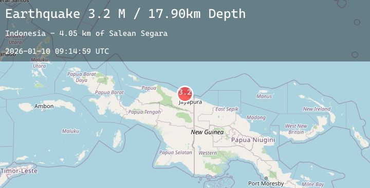
Earthquake Near North Coast of West Papua
Sat, 10 Jan 2026 09:14:59 GMT
Time2 days ago
Location
-2.2907, 140.2263
Depth
17.9 KM
Event Summary
A 2.6 magnitude earthquake struck on Near North Coast of West Papua, at Sat, 10 Jan 2026 09:14:59 GMT. Depth: 17.903009km. Reviewed by BMKG seismologists, this minor quake occurred at a magnitude type of M.
Magnitude
2.6
M
Source
BMKG
Intensity
-
Agency Reports
1 Sources| Source | Magnitude | Depth | Time |
|---|---|---|---|
| BMKGPrimary | 2.6 | 18 km | 2 days ago |
Earthquake Details
AutomaticEvent IDbmg2026ardv
Tsunami PotentialNo
Magnitude TypeM
Nearest Places
- Salean Segara7.2 km
- Muris Kecil9.3 km
- Pulau Besar9.7 km
- Kampung Yougapsa9.8 km
- Tanjung Korongwan10.0 km
Comments
Join the discussion about this event.
Latest Earthquakes
2.8Mag
OFFSHORE EL SALVADOR
Time2 days ago
Depth28.00 km
SourceINET (Automatic)
2.5Mag
NORTHERN CALIFORNIA
Time2 days ago
Depth14.20 km
SourceNC (Automatic)
2.4Mag
Bali Sea
Time2 days ago
Depth19.61 km
SourceBMKG (Automatic)
2.8Mag
South of Java, Indonesia
Time2 days ago
Depth22.56 km
SourceBMKG (Automatic)
2.7Mag
17 km WSW of Olancha, CA
Time2 days ago
Depth6.34 km
SourceUSGS (Automatic)