Earthquake Bali Region, Indonesia
Sat, 10 Jan 2026 11:16:39 GMT
Time1 day ago
Location
-8.4390, 115.8254
Depth
28.7 KM
Event Summary
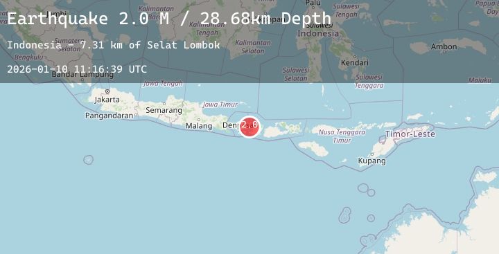
A 2.0 magnitude earthquake struck on Bali Region, Indonesia, at Sat, 10 Jan 2026 11:16:39 GMT. Depth: 28.679947km. Reviewed by BMKG seismologists, this minor quake occurred at a magnitude type of M.
Magnitude
2.0
M
Source
BMKG
Intensity
-
Agency Reports
1 Sources| Source | Magnitude | Depth | Time |
|---|---|---|---|
| BMKGPrimary | 2.0 | 29 km | 1 day ago |
Earthquake Details
AutomaticEvent IDbmg2026arhw
Tsunami PotentialNo
Magnitude TypeM
Nearest Places
- Selat Lombok7.3 km
- Tanjung Karangasem9.4 km
- Gili Selang13.2 km
- Tukad Batumanak13.6 km
- Tukad Kusambi13.7 km
Comments
Join the discussion about this event.
Latest Earthquakes
3.0Mag
OFF THE COAST OF GUATEMALA
Time1 day ago
Depth6.00 km
SourceINET (Automatic)
2.7Mag
LA RIOJA, ARGENTINA
Time1 day ago
Depth10.00 km
SourceNSNA (Automatic)
2.2Mag
SOUTHERN ITALY
Time1 day ago
Depth17.00 km
SourceINGV (Automatic)
2.6Mag
17 km NE of French Gulch, CA
Time1 day ago
Depth15.43 km
SourceUSGS (Automatic)
2.2Mag
CENTRAL TURKEY
Time1 day ago
Depth6.00 km
SourceKOERI (Automatic)