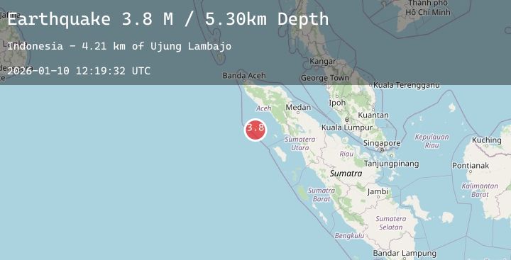
Earthquake Northern Sumatra, Indonesia
Sat, 10 Jan 2026 12:19:32 GMT
Time2 days ago
Location
2.5341, 96.0122
Depth
5.3 KM
Event Summary
A 3.8 magnitude earthquake struck on Northern Sumatra, Indonesia, at Sat, 10 Jan 2026 12:19:32 GMT. Depth: 5.298831km. Reviewed by BMKG seismologists, this minor quake occurred at a magnitude type of M.
Magnitude
3.8
M
Source
BMKG
Intensity
-
Agency Reports
1 Sources| Source | Magnitude | Depth | Time |
|---|---|---|---|
| BMKGPrimary | 3.8 | 5 km | 2 days ago |
Earthquake Details
AutomaticEvent IDbmg2026arjx
Tsunami PotentialNo
Magnitude TypeM
Nearest Places
- Ujung Lambajo4.2 km
- Teluk Kamo5.5 km
- Ujung Mata Situngkul5.8 km
- Karang Deh5.8 km
- Luan Solu6.1 km
Comments
Join the discussion about this event.
Latest Earthquakes
2.3Mag
24 km ESE of Fox River, Alaska
Time2 days ago
Depth45.50 km
SourceUSGS (Automatic)
2.7Mag
West Papua Region, Indonesia
Time2 days ago
Depth10.00 km
SourceBMKG (Automatic)
1.0Mag
10 km ENE of Ridgecrest, CA
Time2 days ago
Depth6.50 km
SourceUSGS (Automatic)
1.5Mag
11 km WSW of Stanton, Texas
Time2 days ago
Depth6.23 km
SourceUSGS (Automatic)
2.5Mag
41 km WSW of Empire, Nevada
Time2 days ago
Depth15.99 km
SourceUSGS (Automatic)
Nearby Earthquakes
No significant earthquakes nearby recently.