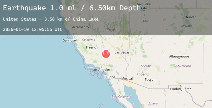
Earthquake 10 km ENE of Ridgecrest, CA
Sat, 10 Jan 2026 12:05:55 GMT
Time1 day ago
Location
35.6515, -117.5708
Depth
6.5 KM
Event Summary
A 1.0 magnitude earthquake struck on 10 km ENE of Ridgecrest, CA, at Sat, 10 Jan 2026 12:05:55 GMT. Depth: 6.5km. Reviewed by USGS seismologists, this minor quake occurred at a magnitude type of ml.
Magnitude
1.0
ml
Source
USGS
Intensity
-
Agency Reports
1 Sources| Source | Magnitude | Depth | Time |
|---|---|---|---|
| USGSPrimary | 1.0 | 7 km | 1 day ago |
Earthquake Details
AutomaticEvent IDusgs_ci41155119
Tsunami PotentialNo
Magnitude Typeml
Nearest Places
- Lone Butte3.0 km
- Trona Water Pipeline3.7 km
- Landmark Letter3.8 km
- Bureau of Land Management - Salt Wells Fire Station4.0 km
- Lark Seep5.6 km
Comments
Join the discussion about this event.
Latest Earthquakes
2.0Mag
Bali Region, Indonesia
Time1 day ago
Depth50.46 km
SourceBMKG (Automatic)
2.2Mag
EASTERN TURKEY
Time1 day ago
Depth5.00 km
SourceKOERI (Automatic)
3.3Mag
Talaud Islands, Indonesia
Time1 day ago
Depth27.07 km
SourceBMKG (Automatic)
3.3Mag
AEGEAN SEA
Time1 day ago
Depth15.00 km
SourceNOA (Automatic)
3.7Mag
Southern Sumatra, Indonesia
Time1 day ago
Depth27.93 km
SourceBMKG (Automatic)
Nearby Earthquakes
2.7Mag
17 km WSW of Olancha, CA
Time1 day ago
Depth6.34 km
SourceUSGS (Automatic)
1.8Mag
47 km SSW of Stovepipe Wells, CA
Time2 days ago
Depth-0.17 km
SourceUSGS (Automatic)
1.5Mag
20 km NNW of Tehachapi, CA
Time2 days ago
Depth4.18 km
SourceUSGS (Automatic)
0.8Mag
14 km NE of Ridgecrest, CA
Time2 days ago
Depth3.43 km
SourceUSGS (Automatic)