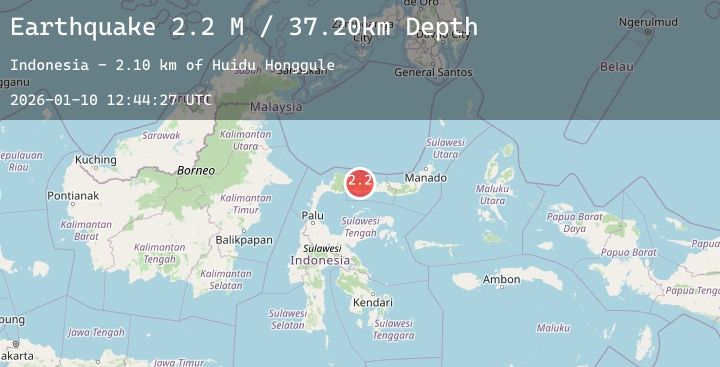
Earthquake Minahassa Peninsula, Sulawesi
Sat, 10 Jan 2026 12:44:27 GMT
Time1 day ago
Location
0.8354, 121.9653
Depth
37.2 KM
Event Summary
A 2.2 magnitude earthquake struck on Minahassa Peninsula, Sulawesi, at Sat, 10 Jan 2026 12:44:27 GMT. Depth: 37.203545km. Reviewed by BMKG seismologists, this minor quake occurred at a magnitude type of M.
Magnitude
2.2
M
Source
BMKG
Intensity
-
Agency Reports
1 Sources| Source | Magnitude | Depth | Time |
|---|---|---|---|
| BMKGPrimary | 2.2 | 37 km | 1 day ago |
Earthquake Details
AutomaticEvent IDbmg2026arkt
Tsunami PotentialNo
Magnitude TypeM
Nearest Places
- Huidu Honggule2.1 km
- Dutula Honggule2.6 km
- Huidu Totahe3.5 km
- Dutula Totaheloboulu4.5 km
- Dutula Oileno4.6 km
Comments
Join the discussion about this event.
Latest Earthquakes
2.0Mag
Sumbawa Region, Indonesia
Time1 day ago
Depth10.00 km
SourceBMKG (Automatic)
2.6Mag
Halmahera, Indonesia
Time1 day ago
Depth43.85 km
SourceBMKG (Automatic)
1.8Mag
4 km SSW of Pāhala, Hawaii
Time1 day ago
Depth31.11 km
SourceUSGS (Automatic)
3.0Mag
South of Sumbawa, Indonesia
Time1 day ago
Depth10.00 km
SourceBMKG (Automatic)
3.8Mag
Northern Sumatra, Indonesia
Time1 day ago
Depth5.30 km
SourceBMKG (Automatic)
Nearby Earthquakes
2.5Mag
Minahassa Peninsula, Sulawesi
Time2 days ago
Depth164.24 km
SourceBMKG (Automatic)
2.2Mag
Minahassa Peninsula, Sulawesi
Time2 days ago
Depth153.03 km
SourceBMKG (Automatic)
2.1Mag
Minahassa Peninsula, Sulawesi
Time2 days ago
Depth74.97 km
SourceBMKG (Automatic)
2.5Mag
Minahassa Peninsula, Sulawesi
Time2 days ago
Depth186.69 km
SourceBMKG (Automatic)