Earthquake Southwest of Sumatra, Indonesia
Sat, 10 Jan 2026 19:18:15 GMT
Time1 day ago
Location
-6.3884, 103.7237
Depth
23.3 KM
Event Summary
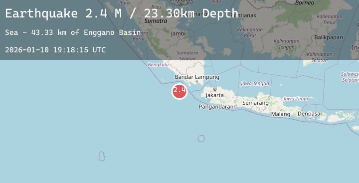
A 2.4 magnitude earthquake struck on Southwest of Sumatra, Indonesia, at Sat, 10 Jan 2026 19:18:15 GMT. Depth: 23.300791km. Reviewed by BMKG seismologists, this minor quake occurred at a magnitude type of M.
Magnitude
2.4
M
Source
BMKG
Intensity
-
Agency Reports
1 Sources| Source | Magnitude | Depth | Time |
|---|---|---|---|
| BMKGPrimary | 2.4 | 23 km | 1 day ago |
Earthquake Details
AutomaticEvent IDbmg2026arxt
Tsunami PotentialNo
Magnitude TypeM
Nearest Places
- Enggano Basin43.3 km
- Tanjung Cuku Balimbing85.9 km
- Pulau Betuah96.8 km
- Cukuh Batuberagam105.9 km
- Wai Cukung106.0 km
Comments
Join the discussion about this event.
Latest Earthquakes
2.2Mag
Sulawesi, Indonesia
Time1 day ago
Depth3.90 km
SourceBMKG (Automatic)
2.7Mag
JAVA, INDONESIA
Time1 day ago
Depth10.00 km
SourceBMKG (Automatic)
2.3Mag
Minahassa Peninsula, Sulawesi
Time1 day ago
Depth104.71 km
SourceBMKG (Automatic)
2.1Mag
Sumba Region, Indonesia
Time1 day ago
Depth62.31 km
SourceBMKG (Automatic)
1.7Mag
20 km NNW of Runge, Texas
Time1 day ago
Depth9.35 km
SourceUSGS (Automatic)