Earthquake 20 km NNW of Runge, Texas
Sat, 10 Jan 2026 18:59:44 GMT
Time1 day ago
Location
29.0630, -97.7800
Depth
9.3 KM
Event Summary
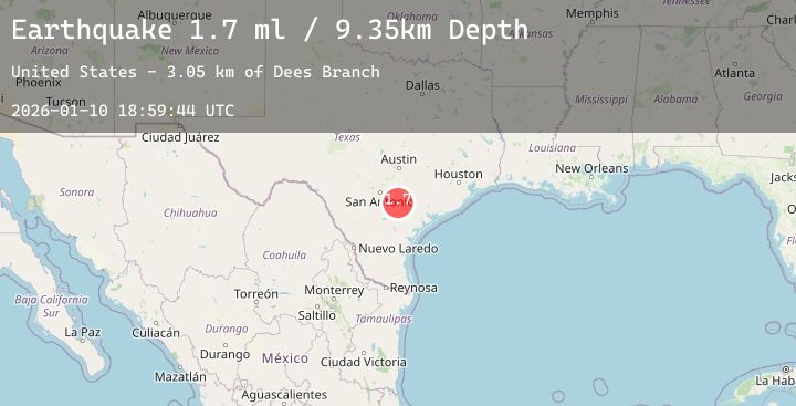
A 1.7 magnitude earthquake struck on 20 km NNW of Runge, Texas, at Sat, 10 Jan 2026 18:59:44 GMT. Depth: 9.3499km. Reviewed by USGS seismologists, this minor quake occurred at a magnitude type of ml.
Magnitude
1.7
ml
Source
USGS
Intensity
-
Agency Reports
1 Sources| Source | Magnitude | Depth | Time |
|---|---|---|---|
| USGSPrimary | 1.7 | 9 km | 1 day ago |
Earthquake Details
AutomaticEvent IDusgs_tx2026arzicf
Tsunami PotentialNo
Magnitude Typeml
Nearest Places
- Dees Branch3.0 km
- Ecleto3.3 km
- Pridgeon Creek3.7 km
- Harmony4.0 km
- Rhymes Creek4.8 km
Comments
Join the discussion about this event.
Latest Earthquakes
2.0Mag
35 km ENE of Chase, Alaska
Time1 day ago
Depth0.30 km
SourceUSGS (Automatic)
1.5Mag
24 km SW of Ackerly, Texas
Time1 day ago
Depth5.00 km
SourceUSGS (Automatic)
0.7Mag
8 km W of Cobb, CA
Time1 day ago
Depth2.23 km
SourceUSGS (Automatic)
2.4Mag
40 km NE of Valdez, Alaska
Time1 day ago
Depth18.60 km
SourceUSGS (Automatic)
2.1Mag
52 km WNW of Anchor Point, Alaska
Time1 day ago
Depth98.60 km
SourceUSGS (Automatic)
Nearby Earthquakes
No significant earthquakes nearby recently.