Earthquake Northern Sumatra, Indonesia
Sun, 11 Jan 2026 22:25:06 GMT
Time1 day ago
Location
0.4099, 98.6162
Depth
4.9 KM
Event Summary
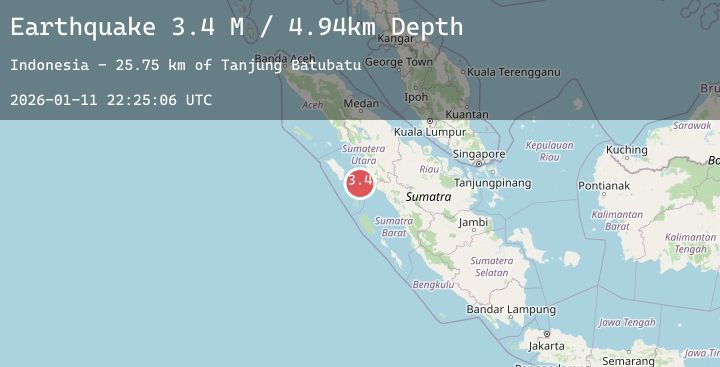
A 3.4 magnitude earthquake struck on Northern Sumatra, Indonesia, at Sun, 11 Jan 2026 22:25:06 GMT. Depth: 4.935728km. Reviewed by BMKG seismologists, this minor quake occurred at a magnitude type of M.
Magnitude
3.4
M
Source
BMKG
Intensity
-
Agency Reports
1 Sources| Source | Magnitude | Depth | Time |
|---|---|---|---|
| BMKGPrimary | 3.4 | 5 km | 1 day ago |
Earthquake Details
AutomaticEvent IDbmg2026atzk
Tsunami PotentialNo
Magnitude TypeM
Nearest Places
- Tanjung Batubatu25.6 km
- Lambak27.1 km
- Tanjung Rapa-rapa28.2 km
- Tanjung Antimonang28.3 km
- Desa Lambak29.8 km
Comments
Join the discussion about this event.
Latest Earthquakes
3.9Mag
Savu Sea
Time1 day ago
Depth10.00 km
SourceBMKG (Automatic)
2.4Mag
WESTERN TURKEY
Time1 day ago
Depth12.00 km
SourceEMSC (Automatic)
3.9Mag
Tanimbar Islands Region, Indonesia
Time1 day ago
Depth55.05 km
SourceBMKG (Automatic)
2.7Mag
Northern Sumatra, Indonesia
Time1 day ago
Depth10.00 km
SourceBMKG (Automatic)
2.5Mag
Java, Indonesia
Time1 day ago
Depth8.06 km
SourceBMKG (Automatic)