Earthquake Northern Sumatra, Indonesia
Sun, 11 Jan 2026 23:59:36 GMT
Time1 day ago
Location
0.4049, 98.5700
Depth
41.5 KM
Event Summary
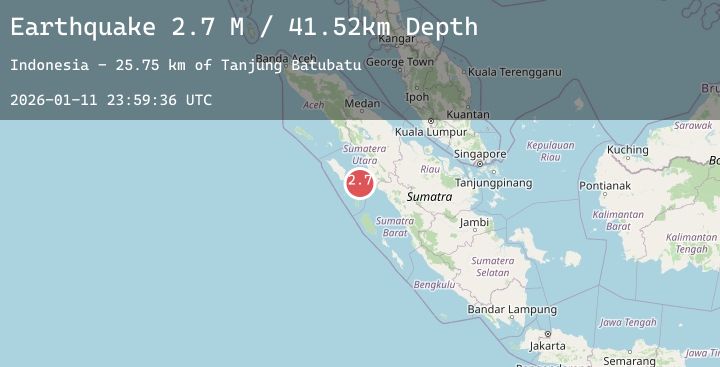
A 2.7 magnitude earthquake struck on Northern Sumatra, Indonesia, at Sun, 11 Jan 2026 23:59:36 GMT. Depth: 41.51609km. Reviewed by BMKG seismologists, this minor quake occurred at a magnitude type of M.
Magnitude
2.7
M
Source
BMKG
Intensity
-
Agency Reports
1 Sources| Source | Magnitude | Depth | Time |
|---|---|---|---|
| BMKGPrimary | 2.7 | 42 km | 1 day ago |
Earthquake Details
AutomaticEvent IDbmg2026aucn
Tsunami PotentialNo
Magnitude TypeM
Nearest Places
- Tanjung Batubatu25.4 km
- Lambak26.4 km
- Tanjung Rapa-rapa27.0 km
- Desa Lambak29.2 km
- Tanjung Batubelobang29.8 km
Comments
Join the discussion about this event.
Latest Earthquakes
1.7Mag
50 km NW of Ninilchik, Alaska
Time1 day ago
Depth103.90 km
SourceUSGS (Automatic)
3.3Mag
Ceram Sea
Time1 day ago
Depth10.00 km
SourceBMKG (Automatic)
4.0Mag
85 km ESE of Maneadero, B.C., MX
Time1 day ago
Depth-0.22 km
SourceUSGS (Automatic)
3.9Mag
Timor Region
Time1 day ago
Depth10.00 km
SourceBMKG (Automatic)
1.4Mag
FRANCE-GERMANY BORDER REGION
Time1 day ago
Depth16.20 km
SourceETHZ (Automatic)