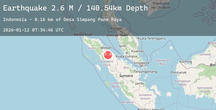
Earthquake Northern Sumatra, Indonesia
Mon, 12 Jan 2026 07:34:47 GMT
Time9 hours ago
Location
2.6191, 98.8241
Depth
141.4 KM
Event Summary
A 2.7 magnitude earthquake struck on Northern Sumatra, Indonesia, at Mon, 12 Jan 2026 07:34:47 GMT. Depth: 141.42308km. Reviewed by BMKG seismologists, this minor quake occurred at a magnitude type of M.
Magnitude
2.7
M
Source
BMKG
Intensity
-
Agency Reports
2 Sources| Source | Magnitude | Depth | Time |
|---|---|---|---|
| BMKGPrimary | 2.7 | 141 km | 9 hours ago |
| BMKGPrimary | 2.6 | 145 km | 9 hours ago |
Earthquake Details
AutomaticEvent IDbmg2026aurn
Tsunami PotentialNo
Magnitude TypeM
Nearest Places
- Pulau Samosir1.1 km
- Dolok Niapul3.1 km
- Desa Ronggur Nihuta3.1 km
- Siulakkosa3.6 km
- Desa Sijambur3.8 km
Comments
Join the discussion about this event.
Latest Earthquakes
1.8Mag
17 km WSW of Caliente, Nevada
Time10 hours ago
Depth2.00 km
SourceUSGS (Automatic)
1.7Mag
61 km S of Whites City, New Mexico
Time10 hours ago
Depth2.49 km
SourceUSGS (Automatic)
1.4Mag
14 km NW of Progreso, B.C., MX
Time10 hours ago
Depth8.43 km
SourceUSGS (Automatic)
2.1Mag
NEAR SOUTH COAST OF FRANCE
Time10 hours ago
Depth5.00 km
SourceReNaSS (Automatic)
3.1Mag
CENTRAL CALIFORNIA
Time10 hours ago
Depth14.90 km
SourceSCSN (Automatic)