Earthquake 14 km NW of Progreso, B.C., MX
Mon, 12 Jan 2026 07:18:16 GMT
Time10 hours ago
Location
32.6795, -115.6748
Depth
8.4 KM
Event Summary
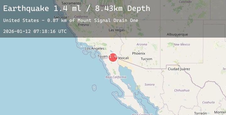
A 1.4 magnitude earthquake struck on 14 km NW of Progreso, B.C., MX, at Mon, 12 Jan 2026 07:18:16 GMT. Depth: 8.43000030517578km. Reviewed by USGS seismologists, this minor quake occurred at a magnitude type of ml.
Magnitude
1.4
ml
Source
USGS
Intensity
-
Agency Reports
1 Sources| Source | Magnitude | Depth | Time |
|---|---|---|---|
| USGSPrimary | 1.4 | 8 km | 10 hours ago |
Earthquake Details
AutomaticEvent IDusgs_ci41155927
Tsunami PotentialNo
Magnitude Typeml
Nearest Places
- Mount Signal Drain One0.9 km
- Mount Signal Drain1.8 km
- Woodbine Lateral Seven2.0 km
- Mount Signal Drain One-A2.0 km
- Mount Signal Drain Three2.3 km
Comments
Join the discussion about this event.
Latest Earthquakes
1.4Mag
WESTERN TURKEY
Time9 hours ago
Depth7.00 km
SourceAFAD (Automatic)
0.9Mag
2 km W of Anderson Springs, CA
Time9 hours ago
Depth2.69 km
SourceUSGS (Automatic)
2.3Mag
29 km N of Larsen Bay, Alaska
Time9 hours ago
Depth57.40 km
SourceUSGS (Automatic)
2.8Mag
Minahassa Peninsula, Sulawesi
Time9 hours ago
Depth186.21 km
SourceBMKG (Automatic)
4.2Mag
ANTOFAGASTA, CHILE
Time9 hours ago
Depth47.30 km
SourceCSN (Automatic)
Nearby Earthquakes
1.4Mag
18 km ESE of Julian, CA
Time12 hours ago
Depth9.86 km
SourceUSGS (Automatic)
1.7Mag
12 km WSW of Imperial, CA
Time18 hours ago
Depth11.01 km
SourceUSGS (Automatic)
1.5Mag
8 km SW of Niland, CA
Time1 day ago
Depth2.79 km
SourceUSGS (Automatic)
0.8Mag
23 km SW of Ocotillo Wells, CA
Time1 day ago
Depth7.46 km
SourceUSGS (Automatic)