Earthquake Near North Coast of West Papua
Mon, 12 Jan 2026 12:00:13 GMT
Time14 hours ago
Location
-1.7016, 138.8208
Depth
10.0 KM
Event Summary
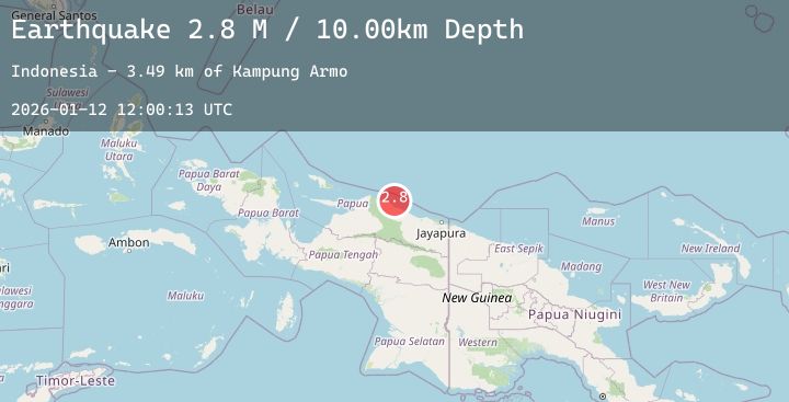
A 2.8 magnitude earthquake struck on Near North Coast of West Papua, at Mon, 12 Jan 2026 12:00:13 GMT. Depth: 10km. Reviewed by BMKG seismologists, this minor quake occurred at a magnitude type of M.
Magnitude
2.8
M
Source
BMKG
Intensity
-
Agency Reports
1 Sources| Source | Magnitude | Depth | Time |
|---|---|---|---|
| BMKGPrimary | 2.8 | 10 km | 14 hours ago |
Earthquake Details
AutomaticEvent IDbmg2026avah
Tsunami PotentialNo
Magnitude TypeM
Nearest Places
- Kampung Armo3.5 km
- Pulau Armo3.5 km
- Pulau Lamsutu9.2 km
- Pulau-pulau Kumamba9.3 km
- Pulau Liki14.8 km
Comments
Join the discussion about this event.
Latest Earthquakes
4.2Mag
Southern Molucca Sea
Time14 hours ago
Depth9.80 km
SourceBMKG (Automatic)
0.6Mag
18 km NNW of Borrego Springs, CA
Time14 hours ago
Depth15.11 km
SourceUSGS (Automatic)
2.5Mag
FRANCE
Time14 hours ago
Depth5.00 km
SourceReNaSS (Automatic)
2.6Mag
FRANCE
Time14 hours ago
Depth5.00 km
SourceReNaSS (Automatic)
2.1Mag
FRANCE
Time14 hours ago
Depth5.00 km
SourceReNaSS (Automatic)
Nearby Earthquakes
No significant earthquakes nearby recently.