Earthquake Sumbawa Region, Indonesia
Mon, 12 Jan 2026 13:23:48 GMT
Time12 hours ago
Location
-8.2027, 117.7403
Depth
21.7 KM
Event Summary
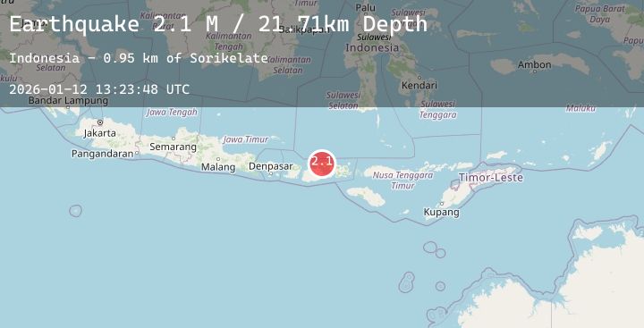
A 2.1 magnitude earthquake struck on Sumbawa Region, Indonesia, at Mon, 12 Jan 2026 13:23:48 GMT. Depth: 21.70871km. Reviewed by BMKG seismologists, this minor quake occurred at a magnitude type of M.
Magnitude
2.1
M
Source
BMKG
Intensity
-
Agency Reports
1 Sources| Source | Magnitude | Depth | Time |
|---|---|---|---|
| BMKGPrimary | 2.1 | 22 km | 12 hours ago |
Earthquake Details
AutomaticEvent IDbmg2026avdb
Tsunami PotentialNo
Magnitude TypeM
Nearest Places
- Sorikelate0.9 km
- Latonda Dua1.1 km
- Doro Mbolo1.7 km
- Doro Kedindi1.7 km
- Doro Kadindi2.0 km
Comments
Join the discussion about this event.
Latest Earthquakes
1.3Mag
2 km NW of Universal City, CA
Time12 hours ago
Depth14.15 km
SourceUSGS (Automatic)
2.9Mag
Minahassa Peninsula, Sulawesi
Time12 hours ago
Depth261.21 km
SourceBMKG (Automatic)
2.8Mag
TARAPACA, CHILE
Time12 hours ago
Depth107.10 km
SourceCSN (Automatic)
2.5Mag
West Papua Region, Indonesia
Time12 hours ago
Depth13.47 km
SourceBMKG (Automatic)
2.6Mag
Timor Region
Time12 hours ago
Depth61.42 km
SourceBMKG (Automatic)
Nearby Earthquakes
2.0Mag
Sumbawa Region, Indonesia
Time15 hours ago
Depth18.61 km
SourceBMKG (Automatic)
2.0Mag
Sumbawa Region, Indonesia
Time1 day ago
Depth10.00 km
SourceBMKG (Automatic)
2.5Mag
Sumbawa Region, Indonesia
Time1 day ago
Depth202.69 km
SourceBMKG (Automatic)
2.7Mag
Sumbawa Region, Indonesia
Time1 day ago
Depth19.29 km
SourceBMKG (Automatic)
2.0Mag
Sumbawa Region, Indonesia
Time1 day ago
Depth240.48 km
SourceBMKG (Automatic)