Earthquake West Papua Region, Indonesia
Mon, 12 Jan 2026 13:01:06 GMT
Time10 hours ago
Location
-0.7229, 133.8372
Depth
13.5 KM
Event Summary
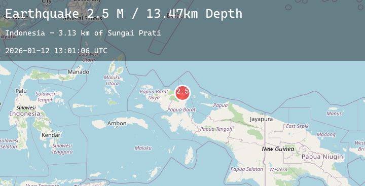
A 2.5 magnitude earthquake struck on West Papua Region, Indonesia, at Mon, 12 Jan 2026 13:01:06 GMT. Depth: 13.4654km. Reviewed by BMKG seismologists, this minor quake occurred at a magnitude type of M.
Magnitude
2.5
M
Source
BMKG
Intensity
-
Agency Reports
1 Sources| Source | Magnitude | Depth | Time |
|---|---|---|---|
| BMKGPrimary | 2.5 | 13 km | 10 hours ago |
Earthquake Details
AutomaticEvent IDbmg2026avch
Tsunami PotentialNo
Magnitude TypeM
Nearest Places
- Sungai Prati3.1 km
- Befoor3.5 km
- Sungai Musuakaing3.8 km
- Kampung Sibuni4.8 km
- Kampung Warbefor5.3 km
Comments
Join the discussion about this event.
Latest Earthquakes
2.6Mag
Timor Region
Time10 hours ago
Depth61.42 km
SourceBMKG (Automatic)
2.2Mag
Sumbawa Region, Indonesia
Time11 hours ago
Depth45.31 km
SourceBMKG (Automatic)
2.1Mag
WESTERN TURKEY
Time11 hours ago
Depth7.00 km
SourceAFAD (Automatic)
1.7Mag
13 km SE of Naalehu, Hawaii
Time11 hours ago
Depth31.18 km
SourceUSGS (Automatic)
1.2Mag
WESTERN TURKEY
Time11 hours ago
Depth7.00 km
SourceAFAD (Automatic)