Earthquake Flores Sea
Mon, 12 Jan 2026 14:19:16 GMT
Time10 hours ago
Location
-7.8428, 118.7752
Depth
39.4 KM
Event Summary
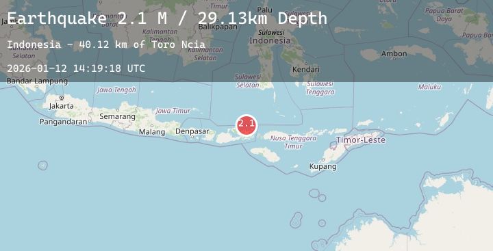
A 2.4 magnitude earthquake struck on Flores Sea, at Mon, 12 Jan 2026 14:19:16 GMT. Depth: 39.433144km. Reviewed by BMKG seismologists, this minor quake occurred at a magnitude type of M.
Magnitude
2.4
M
Source
BMKG
Intensity
-
Agency Reports
1 Sources| Source | Magnitude | Depth | Time |
|---|---|---|---|
| BMKGPrimary | 2.4 | 39 km | 10 hours ago |
Earthquake Details
AutomaticEvent IDbmg2026avew
Tsunami PotentialNo
Magnitude TypeM
Nearest Places
- Toro Ambalawi48.9 km
- Tanjung Ambalawi49.2 km
- Gunungapi49.4 km
- Sori Ambalawi49.4 km
- Ambalawi49.4 km
Comments
Join the discussion about this event.
Latest Earthquakes
2.5Mag
Sumbawa Region, Indonesia
Time10 hours ago
Depth21.15 km
SourceBMKG (Automatic)
3.5Mag
MOLUCCA SEA
Time10 hours ago
Depth16.00 km
SourceBMKG (Automatic)
1.5Mag
13 km N of Cantwell, Alaska
Time10 hours ago
Depth5.00 km
SourceUSGS (Automatic)
2.4Mag
WESTERN TURKEY
Time10 hours ago
Depth8.00 km
SourceAFAD (Automatic)
3.2Mag
WESTERN HONSHU, JAPAN
Time11 hours ago
Depth10.00 km
SourceJMA (Automatic)