Earthquake Near North Coast of West Papua
Mon, 12 Jan 2026 19:18:08 GMT
Time6 hours ago
Location
-2.9483, 139.7091
Depth
50.9 KM
Event Summary
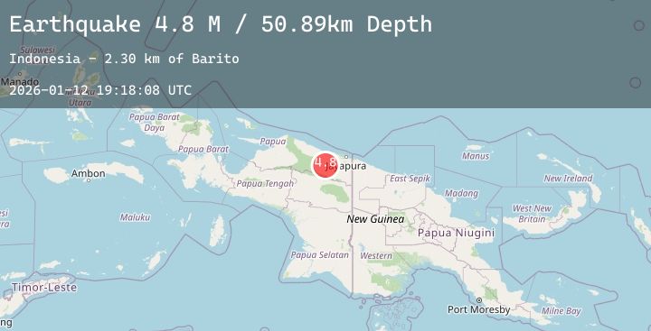
A 4.8 magnitude earthquake struck on Near North Coast of West Papua, at Mon, 12 Jan 2026 19:18:08 GMT. Depth: 50.887184km. Reviewed by BMKG seismologists, this light quake occurred at a magnitude type of M.
Magnitude
4.8
M
Source
BMKG
Intensity
-
Agency Reports
1 Sources| Source | Magnitude | Depth | Time |
|---|---|---|---|
| BMKGPrimary | 4.8 | 51 km | 6 hours ago |
Earthquake Details
AutomaticEvent IDbmg2026avot
Tsunami PotentialNo
Magnitude TypeM
Nearest Places
- Barito2.3 km
- Desa Kobi14.0 km
- Dore16.7 km
- Kampung Umbron20.1 km
- Kampung Tetom20.2 km
Comments
Join the discussion about this event.
Latest Earthquakes
2.8Mag
Java, Indonesia
Time6 hours ago
Depth22.50 km
SourceBMKG (Automatic)
2.4Mag
CENTRAL TURKEY
Time6 hours ago
Depth7.00 km
SourceEMSC (Automatic)
2.4Mag
23 km NNE of Sterling, Alaska
Time6 hours ago
Depth43.00 km
SourceUSGS (Automatic)
1.5Mag
8 km NW of Pinnacles, CA
Time6 hours ago
Depth7.22 km
SourceUSGS (Automatic)
4.5Mag
Northern Sumatra, Indonesia
Time6 hours ago
Depth5.86 km
SourceBMKG (Automatic)
Nearby Earthquakes
No significant earthquakes nearby recently.