Earthquake West Papua Region, Indonesia
Mon, 12 Jan 2026 21:47:57 GMT
Time4 hours ago
Location
-2.8035, 136.0390
Depth
10.0 KM
Event Summary
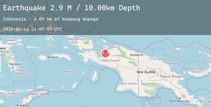
A 2.9 magnitude earthquake struck on West Papua Region, Indonesia, at Mon, 12 Jan 2026 21:47:57 GMT. Depth: 10km. Reviewed by BMKG seismologists, this minor quake occurred at a magnitude type of M.
Magnitude
2.9
M
Source
BMKG
Intensity
-
Agency Reports
1 Sources| Source | Magnitude | Depth | Time |
|---|---|---|---|
| BMKGPrimary | 2.9 | 10 km | 4 hours ago |
Earthquake Details
AutomaticEvent IDbmg2026avts
Tsunami PotentialNo
Magnitude TypeM
Nearest Places
- Kampung Wapoga2.1 km
- Kampung Samanui5.4 km
- Kampung Keuw6.3 km
- Kampung Totoberi6.5 km
- Pami9.1 km
Comments
Join the discussion about this event.
Latest Earthquakes
1.2Mag
WESTERN TURKEY
Time4 hours ago
Depth7.00 km
SourceAFAD (Automatic)
1.6Mag
10 km SSE of Enterprise, Nevada
Time5 hours ago
Depth15.95 km
SourceUSGS (Automatic)
4.2Mag
Talaud Islands, Indonesia
Time5 hours ago
Depth16.91 km
SourceBMKG (Automatic)
1.4Mag
13 km SE of Tehachapi, CA
Time5 hours ago
Depth-0.59 km
SourceUSGS (Automatic)
4.8Mag
DRAKE PASSAGE
Time5 hours ago
Depth10.00 km
SourceEMSC (Automatic)
Nearby Earthquakes
No significant earthquakes nearby recently.