Earthquake West Papua Region, Indonesia
Mon, 12 Jan 2026 22:57:43 GMT
Time2 hours ago
Location
-2.1542, 133.9137
Depth
10.0 KM
Event Summary
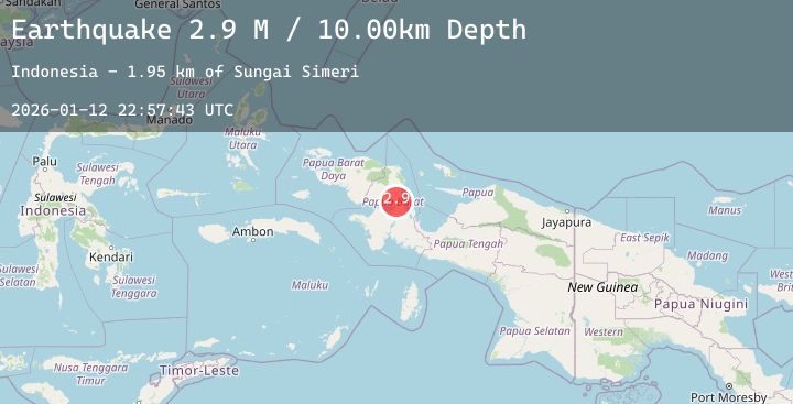
A 2.9 magnitude earthquake struck on West Papua Region, Indonesia, at Mon, 12 Jan 2026 22:57:43 GMT. Depth: 10km. Reviewed by BMKG seismologists, this minor quake occurred at a magnitude type of M.
Magnitude
2.9
M
Source
BMKG
Intensity
-
Agency Reports
1 Sources| Source | Magnitude | Depth | Time |
|---|---|---|---|
| BMKGPrimary | 2.9 | 10 km | 2 hours ago |
Earthquake Details
AutomaticEvent IDbmg2026avvz
Tsunami PotentialNo
Magnitude TypeM
Nearest Places
- Sungai Simeri1.9 km
- Sungai Anakasi2.8 km
- Sungai Rariari3.2 km
- Sungai Kodai3.9 km
- Sungai Wasaru4.0 km
Comments
Join the discussion about this event.
Latest Earthquakes
1.9Mag
32 km E of Chase, Alaska
Time2 hours ago
Depth7.40 km
SourceUSGS (Automatic)
1.1Mag
6 km SSW of Idyllwild, CA
Time2 hours ago
Depth16.55 km
SourceUSGS (Automatic)
2.3Mag
Near North Coast of West Papua
Time2 hours ago
Depth10.00 km
SourceBMKG (Automatic)
1.3Mag
WESTERN TURKEY
Time2 hours ago
Depth5.60 km
SourceAFAD (Automatic)
1.4Mag
EASTERN TURKEY
Time2 hours ago
Depth7.10 km
SourceEMSC (Automatic)
Nearby Earthquakes
No significant earthquakes nearby recently.