Earthquake Near North Coast of West Papua
Mon, 12 Jan 2026 22:48:35 GMT
Time2 hours ago
Location
-2.2535, 140.0296
Depth
10.0 KM
Event Summary
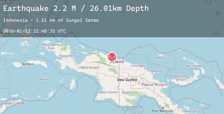
A 2.3 magnitude earthquake struck on Near North Coast of West Papua, at Mon, 12 Jan 2026 22:48:35 GMT. Depth: 10km. Reviewed by BMKG seismologists, this minor quake occurred at a magnitude type of M.
Magnitude
2.3
M
Source
BMKG
Intensity
-
Agency Reports
1 Sources| Source | Magnitude | Depth | Time |
|---|---|---|---|
| BMKGPrimary | 2.3 | 10 km | 2 hours ago |
Earthquake Details
AutomaticEvent IDbmg2026avvr
Tsunami PotentialNo
Magnitude TypeM
Nearest Places
- Tarfia9.4 km
- Moaif11.0 km
- Sungai Grime11.9 km
- Tanjung Kamadara12.1 km
- Wai Humbei12.3 km
Comments
Join the discussion about this event.
Latest Earthquakes
2.9Mag
West Papua Region, Indonesia
Time2 hours ago
Depth10.00 km
SourceBMKG (Automatic)
1.9Mag
32 km E of Chase, Alaska
Time2 hours ago
Depth7.40 km
SourceUSGS (Automatic)
1.1Mag
6 km SSW of Idyllwild, CA
Time2 hours ago
Depth16.55 km
SourceUSGS (Automatic)
1.3Mag
WESTERN TURKEY
Time2 hours ago
Depth5.60 km
SourceAFAD (Automatic)
1.4Mag
EASTERN TURKEY
Time2 hours ago
Depth7.10 km
SourceEMSC (Automatic)