Earthquake Southern Sumatra, Indonesia
Tue, 13 Jan 2026 01:20:44 GMT
Time2 hours ago
Location
-4.7630, 102.5895
Depth
10.9 KM
Event Summary
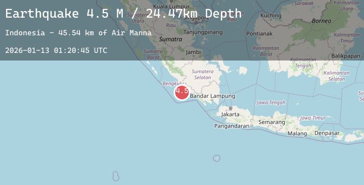
A 4.7 magnitude earthquake struck on Southern Sumatra, Indonesia, at Tue, 13 Jan 2026 01:20:44 GMT. Depth: 10.879731km. Reviewed by BMKG seismologists, this light quake occurred at a magnitude type of M.
Magnitude
4.7
M
Source
BMKG
Intensity
-
Agency Reports
1 Sources| Source | Magnitude | Depth | Time |
|---|---|---|---|
| BMKGPrimary | 4.7 | 11 km | 2 hours ago |
Earthquake Details
AutomaticEvent IDbmg2026awas
Tsunami PotentialNo
Magnitude TypeM
Nearest Places
- Air Manna46.1 km
- Tanjung Manna46.4 km
- Desa Ketaping47.0 km
- Tegrulung47.0 km
- Kelurahan Pasar Bawah47.1 km
Comments
Join the discussion about this event.
Latest Earthquakes
2.6Mag
Java, Indonesia
Time2 hours ago
Depth36.00 km
SourceBMKG (Automatic)
0.7Mag
9 km NW of The Geysers, CA
Time2 hours ago
Depth2.20 km
SourceUSGS (Automatic)
3.6Mag
Timor Region
Time2 hours ago
Depth29.26 km
SourceBMKG (Automatic)
2.2Mag
ISLAND OF HAWAII, HAWAII
Time2 hours ago
Depth2.90 km
SourceHV (Automatic)
1.9Mag
65 km ESE of Cantwell, Alaska
Time2 hours ago
Depth3.60 km
SourceUSGS (Automatic)