Earthquake Flores Region, Indonesia
Tue, 13 Jan 2026 05:44:47 GMT
Time4 hours ago
Location
-8.1277, 119.0302
Depth
32.8 KM
Event Summary
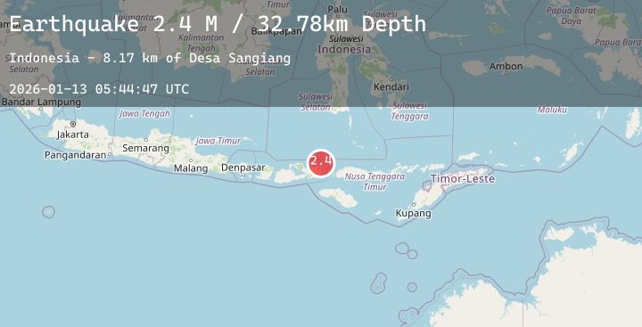
A 2.4 magnitude earthquake struck on Flores Region, Indonesia, at Tue, 13 Jan 2026 05:44:47 GMT. Depth: 32.780525km. Reviewed by BMKG seismologists, this minor quake occurred at a magnitude type of M.
Magnitude
2.4
M
Source
BMKG
Intensity
-
Agency Reports
1 Sources| Source | Magnitude | Depth | Time |
|---|---|---|---|
| BMKGPrimary | 2.4 | 33 km | 4 hours ago |
Earthquake Details
AutomaticEvent IDbmg2026awjk
Tsunami PotentialNo
Magnitude TypeM
Nearest Places
- Desa Sangiang8.2 km
- Pulau Sangeang8.3 km
- Gunung Api8.8 km
- Gunungapi10.0 km
- Selat Sangeang15.8 km
Comments
Join the discussion about this event.
Latest Earthquakes
2.1Mag
Northern Sumatra, Indonesia
Time4 hours ago
Depth102.08 km
SourceBMKG (Automatic)
2.4Mag
Timor Region
Time4 hours ago
Depth73.37 km
SourceBMKG (Automatic)
2.6Mag
ATACAMA, CHILE
Time4 hours ago
Depth82.20 km
SourceCSN (Automatic)
1.7Mag
11 km SSE of Pāhala, Hawaii
Time4 hours ago
Depth27.44 km
SourceUSGS (Automatic)
0.8Mag
4 km WNW of The Geysers, CA
Time4 hours ago
Depth0.42 km
SourceUSGS (Automatic)
Nearby Earthquakes
2.8Mag
Flores Sea
Time11 hours ago
Depth33.56 km
SourceBMKG (Automatic)
2.4Mag
Flores Sea
Time12 hours ago
Depth34.59 km
SourceBMKG (Automatic)
2.3Mag
Flores Sea
Time14 hours ago
Depth16.81 km
SourceBMKG (Automatic)
2.4Mag
Flores Region, Indonesia
Time16 hours ago
Depth146.15 km
SourceBMKG (Automatic)
2.4Mag
Flores Sea
Time19 hours ago
Depth39.43 km
SourceBMKG (Automatic)