Earthquake Flores Region, Indonesia
Tue, 13 Jan 2026 07:19:54 GMT
Time2 days ago
Location
-8.0602, 119.0919
Depth
17.1 KM
Event Summary
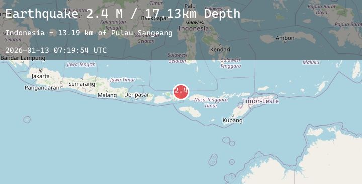
A 2.4 magnitude earthquake struck on Flores Region, Indonesia, at Tue, 13 Jan 2026 07:19:54 GMT. Depth: 17.131754km. Reviewed by BMKG seismologists, this minor quake occurred at a magnitude type of M.
Magnitude
2.4
M
Source
BMKG
Intensity
-
Agency Reports
1 Sources| Source | Magnitude | Depth | Time |
|---|---|---|---|
| BMKGPrimary | 2.4 | 17 km | 2 days ago |
Earthquake Details
AutomaticEvent IDbmg2026awmo
Tsunami PotentialNo
Magnitude TypeM
Nearest Places
- Pulau Sangeang15.2 km
- Gunung Api15.3 km
- Desa Sangiang15.4 km
- Gunungapi19.3 km
- Selat Sangeang25.1 km
Comments
Join the discussion about this event.
Latest Earthquakes
2.5Mag
EASTERN TURKEY
Time2 days ago
Depth7.10 km
SourceKOERI (Automatic)
3.1Mag
NEAR COAST OF NICARAGUA
Time2 days ago
Depth20.00 km
SourceINET (Automatic)
2.3Mag
PORTUGAL
Time2 days ago
Depth1.90 km
SourceIPMA (Automatic)
2.3Mag
Java, Indonesia
Time2 days ago
Depth102.96 km
SourceBMKG (Automatic)
3.7Mag
Talaud Islands, Indonesia
Time2 days ago
Depth22.03 km
SourceBMKG (Automatic)
Nearby Earthquakes
2.4Mag
Flores Region, Indonesia
Time2 days ago
Depth32.78 km
SourceBMKG (Automatic)
2.8Mag
Flores Sea
Time2 days ago
Depth33.56 km
SourceBMKG (Automatic)
2.4Mag
Flores Sea
Time2 days ago
Depth34.59 km
SourceBMKG (Automatic)
2.3Mag
Flores Sea
Time2 days ago
Depth16.81 km
SourceBMKG (Automatic)
2.4Mag
Flores Region, Indonesia
Time2 days ago
Depth146.15 km
SourceBMKG (Automatic)