Earthquake Timor Region
Tue, 13 Jan 2026 13:50:08 GMT
Time2 days ago
Location
-9.3572, 124.2312
Depth
45.1 KM
Event Summary
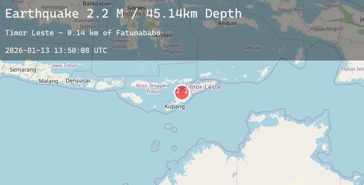
A 2.2 magnitude earthquake struck on Timor Region, at Tue, 13 Jan 2026 13:50:08 GMT. Depth: 45.140827km. Reviewed by BMKG seismologists, this minor quake occurred at a magnitude type of M.
Magnitude
2.2
M
Source
BMKG
Intensity
-
Agency Reports
1 Sources| Source | Magnitude | Depth | Time |
|---|---|---|---|
| BMKGPrimary | 2.2 | 45 km | 2 days ago |
Earthquake Details
AutomaticEvent IDbmg2026awzk
Tsunami PotentialNo
Magnitude TypeM
Nearest Places
- Fatunababo0.1 km
- Mount Nefotune0.4 km
- Oelbabai0.6 km
- Nitibe1.1 km
- Nitibe1.3 km
Comments
Join the discussion about this event.
Latest Earthquakes
3.6Mag
Banda Sea
Time2 days ago
Depth24.25 km
SourceBMKG (Automatic)
1.6Mag
38 km WNW of Rachel, Nevada
Time2 days ago
Depth0.11 km
SourceUSGS (Automatic)
3.2Mag
SALTA, ARGENTINA
Time2 days ago
Depth239.60 km
SourceCSN (Automatic)
2.8Mag
South of Java, Indonesia
Time2 days ago
Depth26.88 km
SourceBMKG (Automatic)
3.9Mag
MINDANAO, PHILIPPINES
Time2 days ago
Depth10.00 km
SourcePIVS (Automatic)