Earthquake Southern Sumatra, Indonesia
Tue, 13 Jan 2026 14:07:31 GMT
Time1 day ago
Location
-3.4600, 101.4130
Depth
22.5 KM
Event Summary
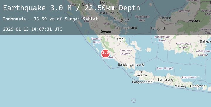
A 3.0 magnitude earthquake struck on Southern Sumatra, Indonesia, at Tue, 13 Jan 2026 14:07:31 GMT. Depth: 22.49979km. Reviewed by BMKG seismologists, this minor quake occurred at a magnitude type of M.
Magnitude
3.0
M
Source
BMKG
Intensity
-
Agency Reports
1 Sources| Source | Magnitude | Depth | Time |
|---|---|---|---|
| BMKGPrimary | 3.0 | 22 km | 1 day ago |
Earthquake Details
AutomaticEvent IDbmg2026awzz
Tsunami PotentialNo
Magnitude TypeM
Nearest Places
- Sungai Seblat33.5 km
- Desa Kota Bani34.9 km
- Sungai Kalikut35.0 km
- Seblat35.4 km
- Desa Talang Arah36.0 km
Comments
Join the discussion about this event.
Latest Earthquakes
1.0Mag
22 km SW of New Idria, CA
Time1 day ago
Depth7.58 km
SourceUSGS (Automatic)
1.9Mag
112 km WNW of Yakutat, Alaska
Time1 day ago
Depth15.90 km
SourceUSGS (Automatic)
1.1Mag
4 km W of Cobb, CA
Time1 day ago
Depth2.13 km
SourceUSGS (Automatic)
2.2Mag
Sulawesi, Indonesia
Time1 day ago
Depth3.91 km
SourceBMKG (Automatic)
2.2Mag
24 km W of Happy Valley, Alaska
Time1 day ago
Depth86.90 km
SourceUSGS (Automatic)