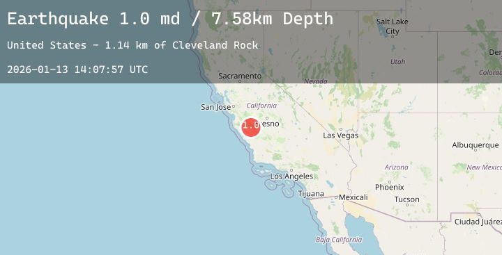
Earthquake 22 km SW of New Idria, CA
Tue, 13 Jan 2026 14:07:57 GMT
Time1 day ago
Location
36.2497, -120.8132
Depth
7.6 KM
Event Summary
A 1.0 magnitude earthquake struck on 22 km SW of New Idria, CA, at Tue, 13 Jan 2026 14:07:57 GMT. Depth: 7.57999992370605km. Reviewed by USGS seismologists, this minor quake occurred at a magnitude type of md.
Magnitude
1.0
md
Source
USGS
Intensity
-
Agency Reports
2 Sources| Source | Magnitude | Depth | Time |
|---|---|---|---|
| USGSPrimary | 0.7 | 8 km | 1 day ago |
| USGSPrimary | 1.0 | 7 km | 1 day ago |
Earthquake Details
AutomaticEvent IDusgs_nc75295081
Tsunami PotentialNo
Magnitude Typemd
Nearest Places
- Cleveland Rock1.1 km
- James Canyon1.8 km
- Mustang Ridge2.1 km
- Austin Peak2.7 km
- Lewis Creek School (historical)3.3 km
Comments
Join the discussion about this event.
Latest Earthquakes
1.4Mag
14 km N of Morgan Hill, CA
Time1 day ago
Depth5.07 km
SourceUSGS (Automatic)
3.7Mag
OFF E. COAST OF N. ISLAND, N.Z.
Time1 day ago
Depth140.50 km
SourceGNS (Automatic)
3.0Mag
KODIAK ISLAND REGION, ALASKA
Time1 day ago
Depth53.80 km
SourceAK (Automatic)
2.5Mag
SAN JUAN, ARGENTINA
Time1 day ago
Depth10.00 km
SourceNSNA (Automatic)
2.3Mag
Flores Region, Indonesia
Time1 day ago
Depth116.39 km
SourceBMKG (Automatic)