Earthquake Near North Coast of West Papua
Wed, 14 Jan 2026 23:11:39 GMT
Time7 hours ago
Location
-2.2067, 140.3649
Depth
10.0 KM
Event Summary
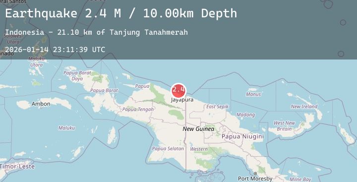
A 2.4 magnitude earthquake struck on Near North Coast of West Papua, at Wed, 14 Jan 2026 23:11:39 GMT. Depth: 10km. Reviewed by BMKG seismologists, this minor quake occurred at a magnitude type of M.
Magnitude
2.4
M
Source
BMKG
Intensity
-
Agency Reports
1 Sources| Source | Magnitude | Depth | Time |
|---|---|---|---|
| BMKGPrimary | 2.4 | 10 km | 7 hours ago |
Earthquake Details
AutomaticEvent IDbmg2026aznl
Tsunami PotentialNo
Magnitude TypeM
Nearest Places
- Tanjung Tanahmerah21.1 km
- Jafase21.9 km
- Yaona23.4 km
- Salean Segara24.3 km
- Doromena24.6 km
Comments
Join the discussion about this event.
Latest Earthquakes
0.8Mag
47 km WNW of Beluga, Alaska
Time7 hours ago
Depth91.70 km
SourceUSGS (Automatic)
2.9Mag
Flores Sea
Time7 hours ago
Depth14.42 km
SourceBMKG (Automatic)
2.9Mag
Northern Sumatra, Indonesia
Time7 hours ago
Depth71.67 km
SourceBMKG (Automatic)
0.7Mag
14 km NNE of Ocotillo Wells, CA
Time7 hours ago
Depth10.23 km
SourceUSGS (Automatic)
2.2Mag
Sulawesi, Indonesia
Time7 hours ago
Depth10.00 km
SourceBMKG (Automatic)