Earthquake Flores Region, Indonesia
Thu, 15 Jan 2026 11:56:33 GMT
Time2 hours ago
Location
-8.7310, 119.0443
Depth
86.7 KM
Event Summary
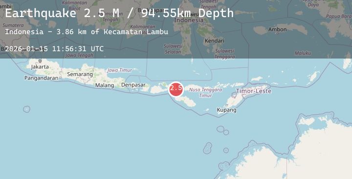
A 2.3 magnitude earthquake struck on Flores Region, Indonesia, at Thu, 15 Jan 2026 11:56:33 GMT. Depth: 86.677689km. Reviewed by BMKG seismologists, this minor quake occurred at a magnitude type of M.
Magnitude
2.3
M
Source
BMKG
Intensity
-
Agency Reports
2 Sources| Source | Magnitude | Depth | Time |
|---|---|---|---|
| BMKGPrimary | 2.3 | 87 km | 2 hours ago |
| BMKGPrimary | 2.5 | 95 km | 2 hours ago |
Earthquake Details
AutomaticEvent IDbmg2026bamr
Tsunami PotentialNo
Magnitude TypeM
Nearest Places
- Kecamatan Lambu4.6 km
- Doro Mporisanggu6.3 km
- Toro Mporisanggu6.3 km
- Nggelu6.3 km
- Nanga Pamali6.7 km
Comments
Join the discussion about this event.
Latest Earthquakes
2.5Mag
Minahassa Peninsula, Sulawesi
Time1 hour ago
Depth107.98 km
SourceBMKG (Automatic)
4.1Mag
Banda Sea
Time1 hour ago
Depth235.66 km
SourceBMKG (Automatic)
1.4Mag
WESTERN TURKEY
Time2 hours ago
Depth7.50 km
SourceEMSC (Automatic)
2.5Mag
SYRIA
Time2 hours ago
Depth15.90 km
SourceKOERI (Automatic)
3.1Mag
COOK STRAIT, NEW ZEALAND
Time2 hours ago
Depth45.00 km
SourceGNS (Automatic)