Earthquake Northern Sumatra, Indonesia
Thu, 15 Jan 2026 22:12:05 GMT
Time3 hours ago
Location
0.3630, 98.5846
Depth
10.0 KM
Event Summary
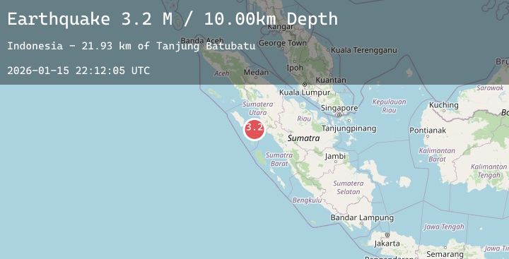
A 3.3 magnitude earthquake struck on Northern Sumatra, Indonesia, at Thu, 15 Jan 2026 22:12:05 GMT. Depth: 10km. Reviewed by BMKG seismologists, this minor quake occurred at a magnitude type of M.
Magnitude
3.3
M
Source
BMKG
Intensity
-
Agency Reports
1 Sources| Source | Magnitude | Depth | Time |
|---|---|---|---|
| BMKGPrimary | 3.3 | 10 km | 3 hours ago |
Earthquake Details
AutomaticEvent IDbmg2026bbgz
Tsunami PotentialNo
Magnitude TypeM
Nearest Places
- Tanjung Batubatu20.6 km
- Lambak21.7 km
- Tanjung Rapa-rapa22.5 km
- Desa Lambak24.5 km
- Tanjung Antimonang25.1 km
Comments
Join the discussion about this event.
Latest Earthquakes
3.6Mag
AEGEAN SEA
Time3 hours ago
Depth6.00 km
SourceTHE (Automatic)
1.7Mag
9 km S of Pāhala, Hawaii
Time3 hours ago
Depth38.24 km
SourceUSGS (Automatic)
3.5Mag
ANTOFAGASTA, CHILE
Time3 hours ago
Depth114.00 km
SourceCSN (Automatic)
2.8Mag
Sumba Region, Indonesia
Time3 hours ago
Depth10.00 km
SourceBMKG (Automatic)
2.1Mag
Bali Sea
Time3 hours ago
Depth10.19 km
SourceBMKG (Automatic)
Nearby Earthquakes
No significant earthquakes nearby recently.